Iaçu night lights from space
Night Light of Iaçu (Bahia) from space (Brazil) Src. Average luminocity for 10x10km area is 10.539% and for 50x50km: 0.9748%.
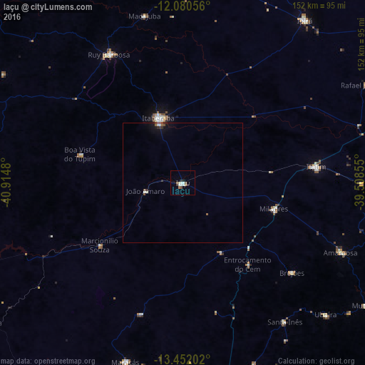
Analysis of Iaçu night lights 2016
Square area 10x10 km:
 2.16%
2.16%90-99
2.38%80-89
0.65%70-79
0.87%60-69
0.87%50-59
1.73%40-49
0.87%30-39
0.87%20-29
2.38%10-19
0.22%0-9
87.01%Square area 50x50 km:
0.1%90-99
0.25%80-89
0.03%70-79
0.04%60-69
0.11%50-59
0.17%40-49
0.08%30-39
0.2%20-29
0.14%10-19
0.52%0-9
98.35%Clear (daylight) street map image can be seen on geolist.org.
Map coordinates:
12° 4' 50" South, 40° 54' 53.3" West
12° 46' 2" South, 40° 12' 42" West
13° 27' 7.3" South, 39° 30' 30.8" West
Some cities around Iaçu sort by population:
• Itaberaba
28.6 km =17.8 mi,  338°
338°
• Amargosa
72 km =44.7 mi,  113°
113°
• Maracás
78.6 km =48.8 mi,  197°
197°
• Ruy Barbosa
61.9 km =38.5 mi,  330°
330°
• Castro Alves
84.9 km =52.8 mi,  89°
89°
• Terra Nova
66.5 km =41.3 mi,  312°
312°
• Santa Inês
72.2 km =44.9 mi,  143°
143°
• Ubaíra
81.5 km =50.6 mi,  133°
133°
3461638 (p: 22,664)
Sources (retrieved 2019-11-25):
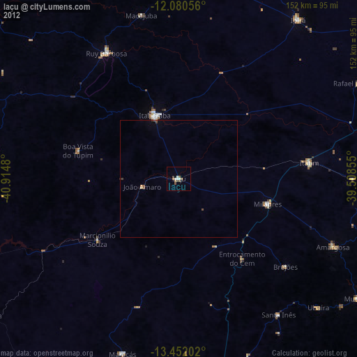
» Earth at Night: Flat Maps 2012, 2016