Santana do Ipanema night lights from space
Night Light of Santana do Ipanema (Alagoas) from space (Brazil) Src. Average luminocity for 10x10km area is 38.0952% and for 50x50km: 8.4025%.
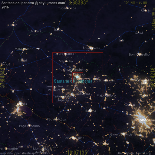
Analysis of Santana do Ipanema night lights 2016
Square area 10x10 km:
 4.11%
4.11%90-99
5.19%80-89
4.33%70-79
2.38%60-69
4.33%50-59
9.52%40-49
11.04%30-39
4.33%20-29
13.64%10-19
38.96%0-9
2.16%Square area 50x50 km:
0.37%90-99
0.98%80-89
0.38%70-79
0.64%60-69
1.1%50-59
2%40-49
1.86%30-39
1.95%20-29
2.36%10-19
7.56%0-9
80.82%Clear (daylight) street map image can be seen on geolist.org.
Map coordinates:
8° 41' 2.1" South, 37° 56' 54.3" West
9° 22' 42" South, 37° 14' 43" West
10° 4' 16.9" South, 36° 32' 31.8" West
Some cities around Santana do Ipanema sort by population:
• Águas Belas
32.6 km =20.3 mi,  24°
24°
• Itaíba
51.7 km =32.1 mi,  337°
337°
• São José da Tapera
24.9 km =15.5 mi,  216°
216°
• Batalha
35.8 km =22.2 mi,  158°
158°
• Pão de Açúcar
46.2 km =28.7 mi,  207°
207°
• Porto da Folha
60 km =37.3 mi,  183°
183°
• Major Isidoro
33.3 km =20.7 mi,  120°
120°
• Inhapi
57.9 km =36 mi,  287°
287°
3389384 (p: 26,146)
Sources (retrieved 2019-11-25):
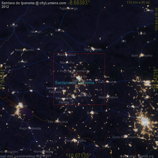
» Earth at Night: Flat Maps 2012, 2016