Ubaíra night lights from space
Night Light of Ubaíra (Bahia) from space (Brazil) Src. Average luminocity for 10x10km area is 5.781% and for 50x50km: 1.2225%.
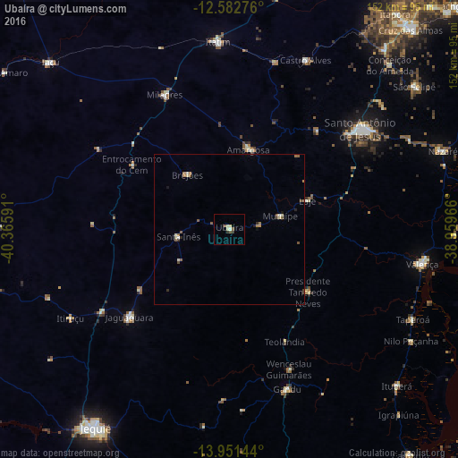
Analysis of Ubaíra night lights 2016
Square area 10x10 km:
 0%
0%90-99
1.45%80-89
1.86%70-79
0%60-69
0%50-59
2.07%40-49
0.41%30-39
1.03%20-29
0.62%10-19
0%0-9
92.56%Square area 50x50 km:
0%90-99
0.25%80-89
0.18%70-79
0.12%60-69
0.17%50-59
0.45%40-49
0.12%30-39
0.17%20-29
0.15%10-19
0.12%0-9
98.26%Clear (daylight) street map image can be seen on geolist.org.
Map coordinates:
12° 34' 57.9" South, 40° 21' 57.3" West
13° 16' 5" South, 39° 39' 46" West
13° 57' 5.2" South, 38° 57' 34.8" West
Some cities around Ubaíra sort by population:
• Santo Antônio de Jesus
54.7 km =34 mi,  52°
52°
• Jaguaquara
44.3 km =27.5 mi,  228°
228°
• Amargosa
27.2 km =16.9 mi,  13°
13°
• Muritiba
59.4 km =36.9 mi, 48°
• Gandu
56.2 km =34.9 mi,  160°
160°
• Itiruçu
60.3 km =37.5 mi,  240°
240°
• Santa Inês
17.1 km =10.6 mi,  260°
260°
• Mutuípe
17.7 km =11 mi,  75°
75°
3445854 (p: 8,069)
Sources (retrieved 2019-11-25):
» Earth at Night: Flat Maps 2012, 2016