Santana night lights from space
Night Light of Santana (Amapá) from space (Brazil) Src. Average luminocity for 10x10km area is 43.0649% and for 50x50km: 10.888%.
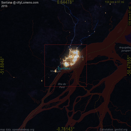

Analysis of Santana night lights 2016
Square area 10x10 km:
 6.93%
6.93%90-99
6.93%80-89
7.36%70-79
4.76%60-69
4.76%50-59
7.36%40-49
10.82%30-39
4.76%20-29
5.84%10-19
27.92%0-9
12.55%Square area 50x50 km:
1.44%90-99
1.45%80-89
1.81%70-79
2.22%60-69
1.19%50-59
1.68%40-49
1.98%30-39
1.35%20-29
2.29%10-19
5.81%0-9
78.78%Clear (daylight) street map image can be seen on geolist.org.
Map coordinates:
0° 38' 41.2" North, 51° 53' 5.3" West
0° 3' 30" South, 51° 10' 54" West
0° 45' 41.1" South, 50° 28' 42.8" West
Some cities around Santana sort by population:
• Macapá
16.8 km =10.4 mi,  49°
49°
• Breves
196.7 km =122.2 mi,  156°
156°
• Portel
212.5 km =132 mi,  169°
169°
• Tucumã
126.6 km =78.7 mi,  96°
96°
• Porto de Moz
221.6 km =137.7 mi,  212°
212°
• Afuá
89.1 km =55.4 mi, 97°
• Mazagão
13.5 km =8.4 mi,  242°
242°
• Gurupá
158.2 km =98.3 mi,  198°
198°
3391360 (p: 83,927)
Sources (retrieved 2019-11-25):
» NASA, Earths city lights 1995
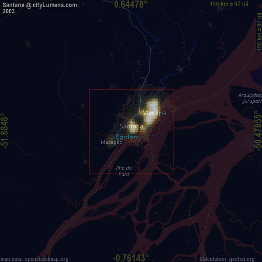
» NASA city lights 2003
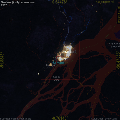
» Earth at Night: Flat Maps 2012, 2016