Cândido de Abreu night lights from space
Night Light of Cândido de Abreu (Paraná) from space (Brazil) Src. Average luminocity for 10x10km area is 3.9464% and for 50x50km: 0.1901%.
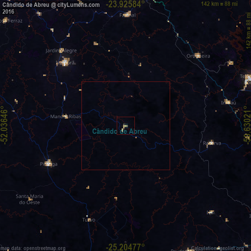
Analysis of Cândido de Abreu night lights 2016
Square area 10x10 km:
 0%
0%90-99
0%80-89
0%70-79
1.59%60-69
1.79%50-59
0.6%40-49
0.79%30-39
0.6%20-29
0.99%10-19
0%0-9
93.65%Square area 50x50 km:
0%90-99
0%80-89
0%70-79
0.06%60-69
0.1%50-59
0.02%40-49
0.03%30-39
0.06%20-29
0.04%10-19
0%0-9
99.68%Clear (daylight) street map image can be seen on geolist.org.
Map coordinates:
23° 55' 33" South, 52° 2' 11.3" West
24° 34' 1" South, 51° 19' 60" West
25° 12' 17.2" South, 50° 37' 48.8" West
Some cities around Cândido de Abreu sort by population:
• Guarapuava
92.5 km =57.5 mi,  188°
188°
• Telêmaco Borba
77.5 km =48.2 mi,  69°
69°
• Prudentópolis
80.3 km =49.9 mi,  153°
153°
• Pitanga
48.2 km =30 mi,  243°
243°
• Faxinal
63 km =39.1 mi,  1°
1°
• Tibagi
93.2 km =57.9 mi,  86°
86°
• Ortigueira
55.7 km =34.6 mi,  44°
44°
• Reserva
49.7 km =30.9 mi,  100°
100°
3467545 (p: 5,102)
Sources (retrieved 2019-11-25):
» Earth at Night: Flat Maps 2012, 2016