Irati night lights from space
Night Light of Irati (Paraná) from space (Brazil) Src. Average luminocity for 10x10km area is 36.2341% and for 50x50km: 2.665%.
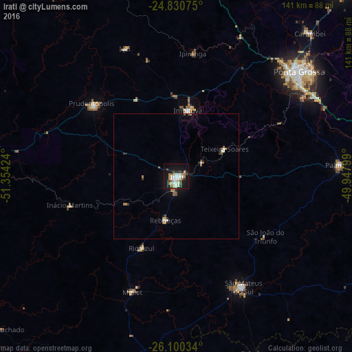
Analysis of Irati night lights 2016
Square area 10x10 km:
 7.54%
7.54%90-99
6.75%80-89
3.37%70-79
6.55%60-69
3.97%50-59
2.38%40-49
3.77%30-39
3.77%20-29
3.17%10-19
41.27%0-9
17.46%Square area 50x50 km:
0.36%90-99
0.41%80-89
0.22%70-79
0.34%60-69
0.44%50-59
0.32%40-49
0.27%30-39
0.3%20-29
0.2%10-19
2.14%0-9
95%Clear (daylight) street map image can be seen on geolist.org.
Map coordinates:
24° 49' 50.7" South, 51° 21' 15.3" West
25° 28' 2" South, 50° 39' 4" West
26° 6' 1.2" South, 49° 56' 52.8" West
Some cities around Irati sort by population:
• Ponta Grossa
64.3 km =40 mi,  49°
49°
• Guarapuava
82.2 km =51.1 mi,  275°
275°
• São Mateus do Sul
52.6 km =32.7 mi,  149°
149°
• Imbituva
26.8 km =16.7 mi,  10°
10°
• Prudentópolis
43.3 km =26.9 mi,  310°
310°
• Palmeira
64.9 km =40.3 mi,  86°
86°
• Três Barras
78.3 km =48.7 mi,  155°
155°
• Carambeí
78.6 km =48.8 mi,  43°
43°
3461017 (p: 45,830)
Sources (retrieved 2019-11-25):
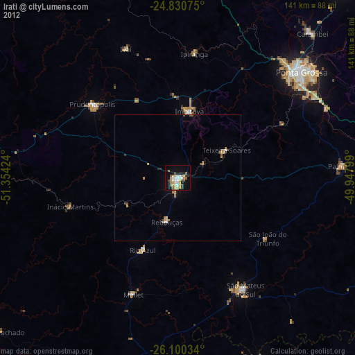
» Earth at Night: Flat Maps 2012, 2016