Guaporé night lights from space
Night Light of Guaporé (Rio Grande do Sul) from space (Brazil) Src. Average luminocity for 10x10km area is 16.3693% and for 50x50km: 2.4739%.
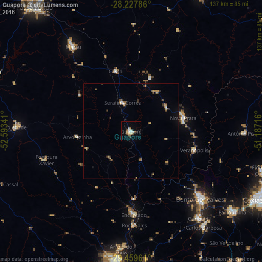
Analysis of Guaporé night lights 2016
Square area 10x10 km:
 3.22%
3.22%90-99
3.41%80-89
1.52%70-79
2.46%60-69
0.76%50-59
2.84%40-49
0.38%30-39
1.33%20-29
0%10-19
3.03%0-9
81.06%Square area 50x50 km:
0.22%90-99
0.23%80-89
0.32%70-79
0.43%60-69
0.24%50-59
0.43%40-49
0.25%30-39
0.49%20-29
0.34%10-19
0.6%0-9
96.45%Clear (daylight) street map image can be seen on geolist.org.
Map coordinates:
28° 13' 40.3" South, 52° 35' 36.3" West
28° 50' 44" South, 51° 53' 25" West
29° 27' 34.6" South, 51° 11' 13.8" West
Some cities around Guaporé sort by population:
• Bento Gonçalves
51.1 km =31.8 mi,  135°
135°
• Garibaldi
57.3 km =35.6 mi, 142°
• Marau
53.4 km =33.2 mi,  325°
325°
• Soledade
60.5 km =37.6 mi,  272°
272°
• Veranópolis
34.7 km =21.6 mi,  106°
106°
• Nova Prata
28.2 km =17.5 mi,  75°
75°
• Encantado
43.5 km =27 mi,  177°
177°
• Arroio do Meio
62 km =38.5 mi, 184°
3461941 (p: 20,050)
Sources (retrieved 2019-11-25):
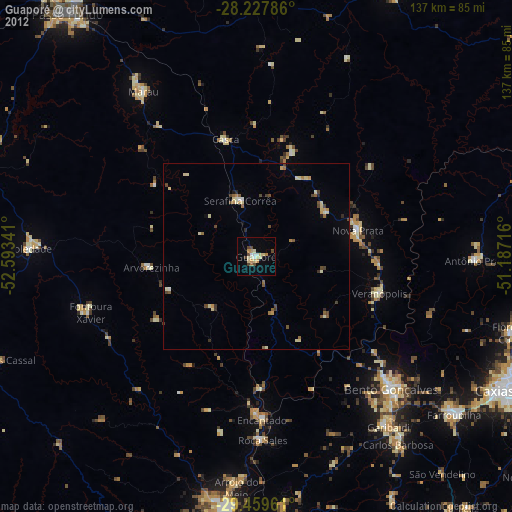
» Earth at Night: Flat Maps 2012, 2016