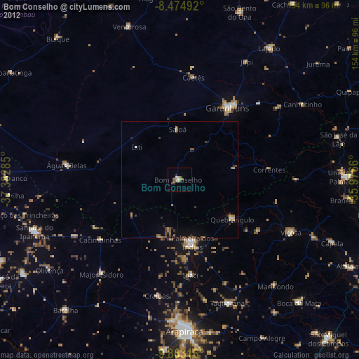
Bom Conselho night lights from space
Night Light of Bom Conselho (Pernambuco) from space (Brazil) Src. Average luminocity for 10x10km area is 10.9654% and for 50x50km: 2.4831%.
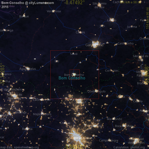
Analysis of Bom Conselho night lights 2016
Square area 10x10 km:
 1.08%
1.08%90-99
2.38%80-89
0.87%70-79
1.95%60-69
1.52%50-59
1.73%40-49
0.87%30-39
0.87%20-29
0.87%10-19
2.6%0-9
85.28%Square area 50x50 km:
0.08%90-99
0.37%80-89
0.14%70-79
0.25%60-69
0.26%50-59
0.67%40-49
0.38%30-39
0.46%20-29
0.57%10-19
1.71%0-9
95.1%Clear (daylight) street map image can be seen on geolist.org.
Map coordinates:
8° 28' 29.7" South, 37° 22' 58.3" West
9° 10' 11" South, 36° 40' 47" West
9° 51' 47.4" South, 35° 58' 35.8" West
Some cities around Bom Conselho sort by population:
• Garanhuns
37.5 km =23.3 mi,  31°
31°
• Águas Belas
49.1 km =30.5 mi,  277°
277°
• Major Isidoro
52.4 km =32.6 mi,  219°
219°
• São João
47.5 km =29.5 mi,  46°
46°
• Quebrangulo
28.3 km =17.6 mi,  125°
125°
• Igaci
41.1 km =25.5 mi,  172°
172°
• Santana do Mundaú
50.2 km =31.2 mi,  89°
89°
• Caetés
44.5 km =27.7 mi,  8°
8°
3405380 (p: 27,800)
Sources (retrieved 2019-11-25):
» Earth at Night: Flat Maps 2012, 2016