Lagoa da Prata night lights from space
Night Light of Lagoa da Prata (Minas Gerais) from space (Brazil) Src. Average luminocity for 10x10km area is 22.8829% and for 50x50km: 2.0389%.
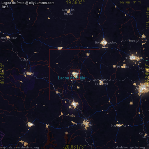
Analysis of Lagoa da Prata night lights 2016
Square area 10x10 km:
 0.79%
0.79%90-99
1.79%80-89
6.35%70-79
6.55%60-69
4.17%50-59
1.19%40-49
2.98%30-39
0%20-29
0.6%10-19
15.28%0-9
60.32%Square area 50x50 km:
0.04%90-99
0.11%80-89
0.36%70-79
0.61%60-69
0.39%50-59
0.11%40-49
0.34%30-39
0.12%20-29
0.19%10-19
0.7%0-9
97.02%Clear (daylight) street map image can be seen on geolist.org.
Map coordinates:
19° 21' 37.8" South, 46° 14' 48.3" West
20° 1' 21" South, 45° 32' 37" West
20° 40' 54.2" South, 44° 50' 25.8" West
Some cities around Lagoa da Prata sort by population:
• Formiga
50.6 km =31.4 mi,  166°
166°
• Bom Despacho
44 km =27.3 mi,  43°
43°
• Arcos
28.9 km =18 mi,  179°
179°
• Piuí
65.5 km =40.7 mi,  221°
221°
• Santo Antônio do Monte
27.1 km =16.8 mi,  105°
105°
• Bambuí
45.3 km =28.1 mi,  272°
272°
• Luz
28.7 km =17.8 mi,  328°
328°
• Dores do Indaiá
62.5 km =38.8 mi,  354°
354°
3459251 (p: 43,118)
Sources (retrieved 2019-11-25):
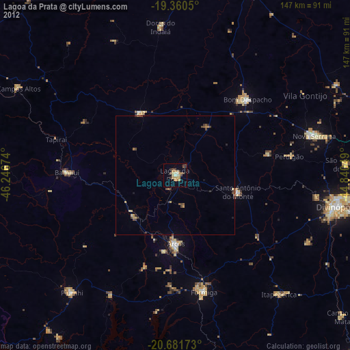
» Earth at Night: Flat Maps 2012, 2016