Serra Talhada night lights from space
Night Light of Serra Talhada (Pernambuco) from space (Brazil) Src. Average luminocity for 10x10km area is 28.7686% and for 50x50km: 2.135%.
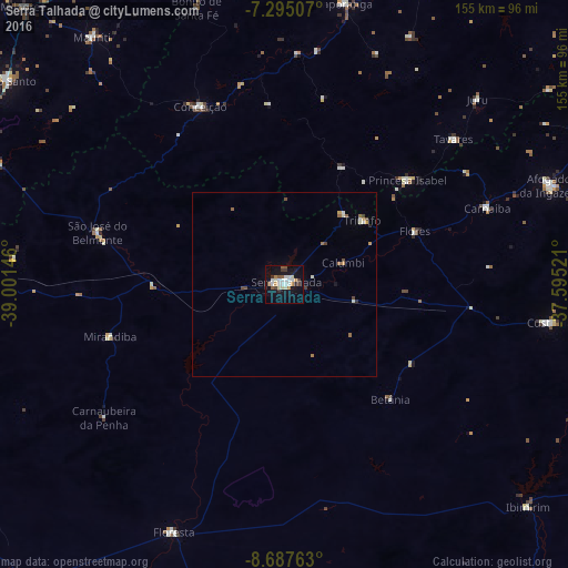
Analysis of Serra Talhada night lights 2016
Square area 10x10 km:
 4.75%
4.75%90-99
8.06%80-89
2.07%70-79
2.07%60-69
2.07%50-59
4.75%40-49
1.86%30-39
3.51%20-29
2.07%10-19
33.68%0-9
35.12%Square area 50x50 km:
0.2%90-99
0.55%80-89
0.14%70-79
0.2%60-69
0.25%50-59
0.3%40-49
0.31%30-39
0.2%20-29
0.17%10-19
1.43%0-9
96.24%Clear (daylight) street map image can be seen on geolist.org.
Map coordinates:
7° 17' 42.3" South, 39° 0' 5.3" West
7° 59' 31" South, 38° 17' 54" West
8° 41' 15.5" South, 37° 35' 42.8" West
Some cities around Serra Talhada sort by population:
• Afogados da Ingazeira
77.4 km =48.1 mi,  69°
69°
• Custódia
72.9 km =45.3 mi,  98°
98°
• Floresta
74 km =46 mi,  203°
203°
• Itaporanga
78.2 km =48.6 mi,  12°
12°
• São José do Belmonte
52.8 km =32.8 mi,  285°
285°
• Princesa Isabel
44 km =27.3 mi,  49°
49°
• Ibimirim
90.5 km =56.2 mi,  132°
132°
• Flores
38.2 km =23.7 mi, 68°
3387786 (p: 51,203)
Sources (retrieved 2019-11-25):
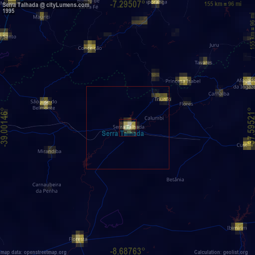
» NASA, Earths city lights 1995
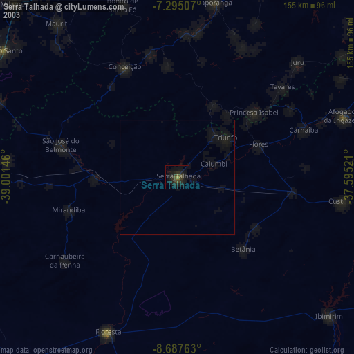
» NASA city lights 2003
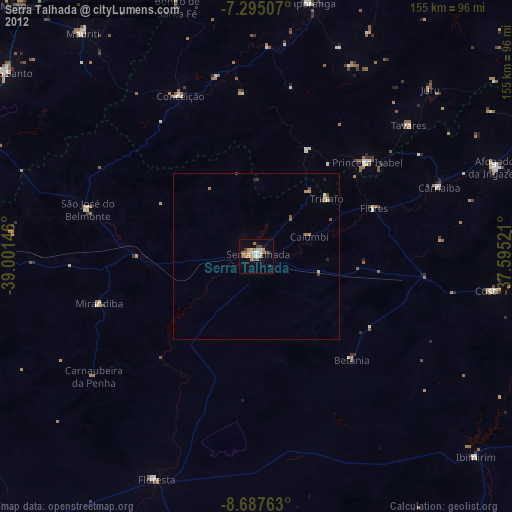
» Earth at Night: Flat Maps 2012, 2016