Entre Rios night lights from space
Night Light of Entre Rios (Bahia) from space (Brazil) Src. Average luminocity for 10x10km area is 15.6777% and for 50x50km: 3.3726%.
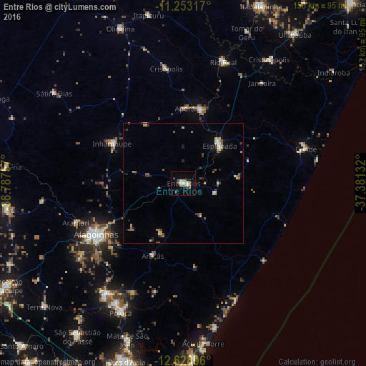
Analysis of Entre Rios night lights 2016
Square area 10x10 km:
 1.86%
1.86%90-99
3.1%80-89
1.65%70-79
1.45%60-69
2.89%50-59
2.27%40-49
1.65%30-39
0.83%20-29
1.65%10-19
1.65%0-9
80.99%Square area 50x50 km:
0.19%90-99
0.61%80-89
0.41%70-79
0.35%60-69
0.51%50-59
0.56%40-49
0.47%30-39
0.4%20-29
0.47%10-19
0.78%0-9
95.26%Clear (daylight) street map image can be seen on geolist.org.
Map coordinates:
11° 15' 11.4" South, 38° 47' 15.3" West
11° 56' 31" South, 38° 5' 4" West
12° 37' 44.3" South, 37° 22' 52.8" West
Some cities around Entre Rios sort by population:
• Alagoinhas
42.3 km =26.3 mi,  239°
239°
• Catu
55.8 km =34.7 mi,  214°
214°
• Rio Real
53.5 km =33.2 mi,  17°
17°
• Esplanada
22.2 km =13.8 mi,  43°
43°
• Conde
53.5 km =33.2 mi,  74°
74°
• Inhambupe
34.1 km =21.2 mi,  300°
300°
• Acajutiba
32 km =19.9 mi,  13°
13°
• Cristinápolis
63 km =39.1 mi,  34°
34°
3464100 (p: 27,405)
Sources (retrieved 2019-11-25):
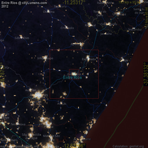
» Earth at Night: Flat Maps 2012, 2016