Catu night lights from space
Night Light of Catu (Bahia) from space (Brazil) Src. Average luminocity for 10x10km area is 41.0393% and for 50x50km: 13.0053%.
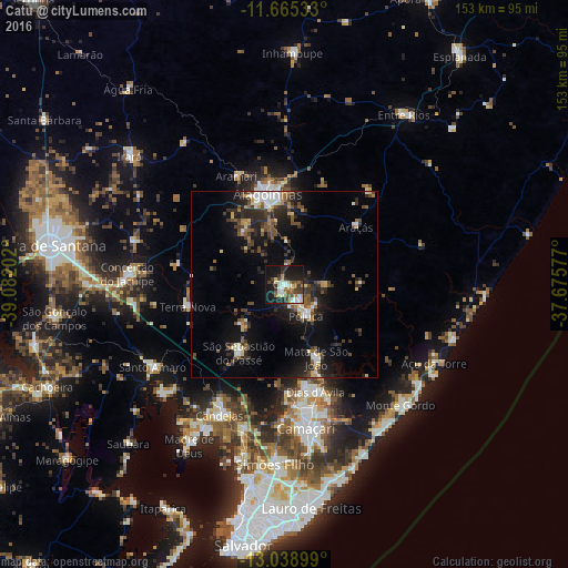
Analysis of Catu night lights 2016
Square area 10x10 km:
 4.75%
4.75%90-99
9.92%80-89
3.31%70-79
3.1%60-69
6.61%50-59
7.64%40-49
7.02%30-39
7.23%20-29
9.09%10-19
34.92%0-9
6.4%Square area 50x50 km:
0.86%90-99
2.33%80-89
1.13%70-79
0.93%60-69
1.25%50-59
2.19%40-49
2.66%30-39
2.94%20-29
4.72%10-19
9.71%0-9
71.28%Clear (daylight) street map image can be seen on geolist.org.
Map coordinates:
11° 39' 55.2" South, 39° 4' 55.3" West
12° 21' 11" South, 38° 22' 44" West
13° 2' 20.4" South, 37° 40' 32.8" West
Some cities around Catu sort by population:
• Camaçari
38.8 km =24.1 mi,  171°
171°
• Alagoinhas
24.6 km =15.3 mi,  349°
349°
• Santo Amaro
42.1 km =26.2 mi,  239°
239°
• São Sebastião do Passé
21.8 km =13.5 mi,  215°
215°
• Mata de São João
21.5 km =13.4 mi,  156°
156°
• São Francisco do Conde
44.7 km =27.8 mi,  226°
226°
• Conceição do Jacuípe
42.3 km =26.3 mi,  275°
275°
• Coração de Maria
42.5 km =26.4 mi,  288°
288°
3466641 (p: 39,932)
Sources (retrieved 2019-11-25):
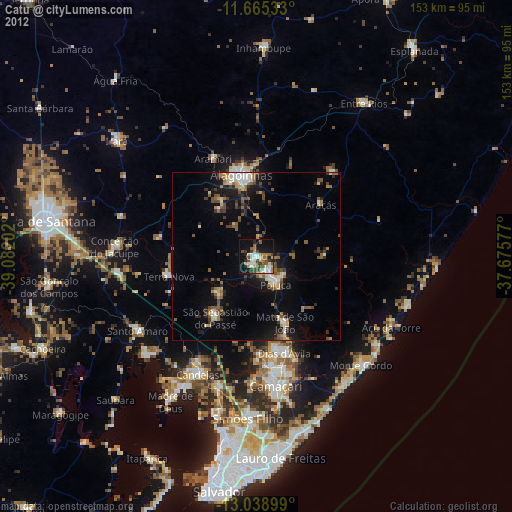
» Earth at Night: Flat Maps 2012, 2016