Embu Guaçu night lights from space
Night Light of Embu Guaçu (São Paulo) from space (Brazil) Src. Average luminocity for 10x10km area is 45.5675% and for 50x50km: 35.021%.
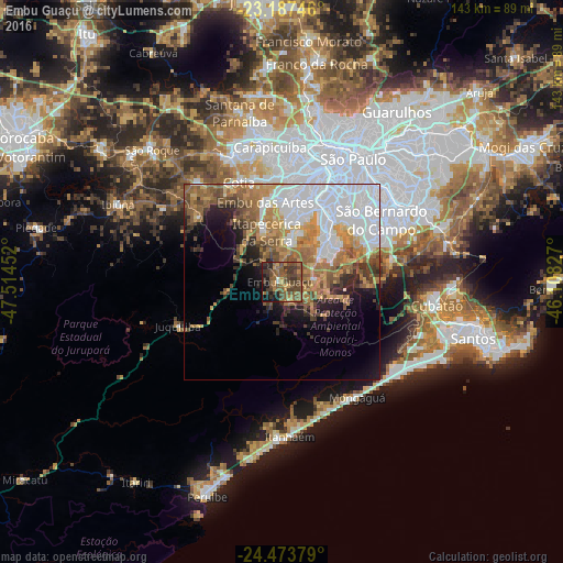
Analysis of Embu Guaçu night lights 2016
Square area 10x10 km:
 0.4%
0.4%90-99
1.39%80-89
1.19%70-79
8.73%60-69
10.12%50-59
20.63%40-49
23.61%30-39
13.29%20-29
7.74%10-19
11.71%0-9
1.19%Square area 50x50 km:
12.14%90-99
4.14%80-89
2.64%70-79
5.32%60-69
6.3%50-59
5.84%40-49
4.57%30-39
3.16%20-29
3.65%10-19
6.04%0-9
46.21%Clear (daylight) street map image can be seen on geolist.org.
Map coordinates:
23° 11' 14.9" South, 47° 30' 52.3" West
23° 49' 56" South, 46° 48' 41" West
24° 28' 25.6" South, 46° 6' 29.8" West
Some cities around Embu Guaçu sort by population:
• São Bernardo do Campo
29.4 km =18.3 mi,  58°
58°
• Diadema
25.1 km =15.6 mi,  49°
49°
• Embu
20.8 km =12.9 mi,  348°
348°
• Taboão da Serra
23 km =14.3 mi,  5°
5°
• Cotia
27.7 km =17.2 mi,  336°
336°
• Itapecerica da Serra
13.4 km =8.3 mi, 343°
• Juquitiba
28.4 km =17.6 mi,  247°
247°
• São Lourenço da Serra
13.5 km =8.4 mi,  260°
260°
3464304 (p: 76,310)
Sources (retrieved 2019-11-25):
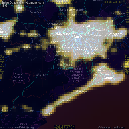
» NASA, Earths city lights 1995
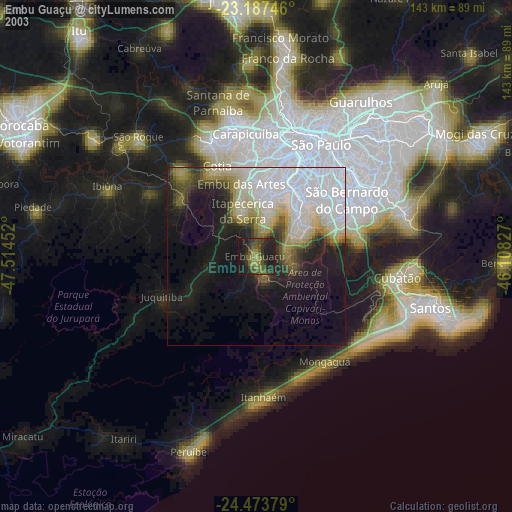
» NASA city lights 2003
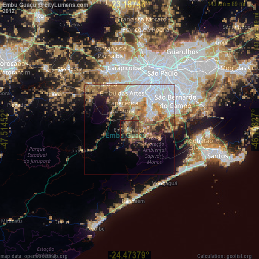
» Earth at Night: Flat Maps 2012, 2016