São Bernardo do Campo night lights from space
Night Light of São Bernardo do Campo (São Paulo) from space (Brazil) Src. Average luminocity for 10x10km area is 99.2679% and for 50x50km: 74.6699%.
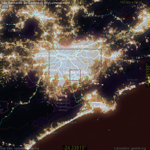
Analysis of São Bernardo do Campo night lights 2016
Square area 10x10 km:
 90.28%
90-99
7.14%80-89
0.4%70-79
2.18%60-69
0%50-59
0%40-49
0%30-39
0%20-29
0%10-19
0%0-9
0%Square area 50x50 km:
42.36%90-99
9.51%80-89
3.87%70-79
6.51%60-69
8.61%50-59
7.1%40-49
4.55%30-39
4.02%20-29
5.02%10-19
5.29%0-9
3.17%Clear (daylight) street map image can be seen on geolist.org.
Map coordinates:
23° 2' 54.5" South, 47° 16' 5.3" West
23° 41' 38" South, 46° 33' 54" West
24° 20' 10.1" South, 45° 51' 42.8" West
Some cities around São Bernardo do Campo sort by population:
• São Paulo
17.8 km =11.1 mi,  336°
336°
• Santo André
4.3 km =2.7 mi,  39°
39°
• Diadema
5.9 km =3.7 mi,  278°
278°
• Mauá
10.9 km =6.8 mi,  74°
74°
• São Caetano do Sul
8 km =5 mi,  10°
10°
• Ribeirão Pires
15.6 km =9.7 mi,  96°
96°
• Jardim Paulista
17.4 km =10.8 mi,  324°
324°
• Paraíso
15.8 km =9.8 mi,  326°
326°
3449344 (p: 743,372)
Sources (retrieved 2019-11-25):
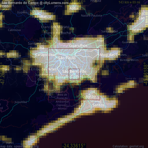
» NASA, Earths city lights 1995
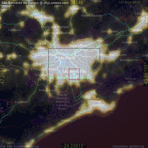
» NASA city lights 2003
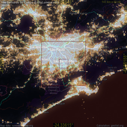
» Earth at Night: Flat Maps 2012, 2016