Jutaí night lights from space
Night Light of Jutaí (Amazonas) from space (Brazil) Src. Average luminocity for 10x10km area is 0% and for 50x50km: 0%.
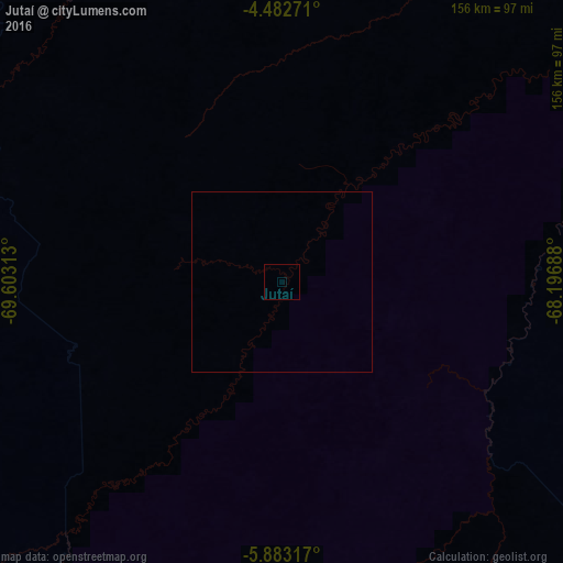
Analysis of Jutaí night lights 2016
Square area 10x10 km:
 0%
0%90-99
0%80-89
0%70-79
0%60-69
0%50-59
0%40-49
0%30-39
0%20-29
0%10-19
0%0-9
100%Square area 50x50 km:
0%90-99
0%80-89
0%70-79
0%60-69
0%50-59
0%40-49
0%30-39
0%20-29
0%10-19
0%0-9
100%Clear (daylight) street map image can be seen on geolist.org.
Map coordinates:
4° 28' 57.8" South, 69° 36' 11.3" West
5° 10' 60" South, 68° 54' 0" West
5° 52' 59.4" South, 68° 11' 48.8" West
Some cities around Jutaí sort by population:
• Leticia, CO
157.7 km =98 mi,  313°
313°
• Tabatinga
156.4 km =97.2 mi, 312°
• Carauari
224.5 km =139.5 mi,  81°
81°
• Eirunepé
196.4 km =122 mi,  213°
213°
• Benjamin Constant
154.3 km =95.9 mi, 305°
• São Paulo de Olivença
200.7 km =124.7 mi,  0°
0°
• Santo Antônio do Içá
254.7 km =158.3 mi,  24°
24°
• Ramón Castilla, PE
155.7 km =96.7 mi, 311°
3663693 (p: 5,862)
Sources (retrieved 2019-11-25):
» Earth at Night: Flat Maps 2012, 2016