Ramón Castilla night lights from space
Night Light of Ramón Castilla (Loreto) from space (Peru) Src. Average luminocity for 10x10km area is 15.119% and for 50x50km: 1.4451%.
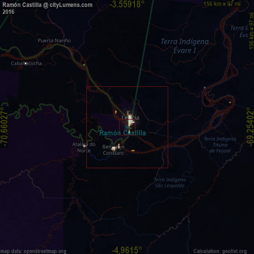
Analysis of Ramón Castilla night lights 2016
Square area 10x10 km:
 1.08%
1.08%90-99
6.28%80-89
2.16%70-79
0%60-69
1.08%50-59
0.65%40-49
0%30-39
4.76%20-29
0.87%10-19
8.87%0-9
74.24%Square area 50x50 km:
0.06%90-99
0.42%80-89
0.24%70-79
0%60-69
0.15%50-59
0.16%40-49
0.1%30-39
0.47%20-29
0.07%10-19
0.65%0-9
97.69%Clear (daylight) street map image can be seen on geolist.org.
Map coordinates:
3° 33' 33" South, 70° 39' 37" West
4° 15' 38.4" South, 69° 57' 25.7" West
4° 57' 41.4" South, 69° 15' 14.5" West
Some cities around Ramón Castilla sort by population:
• Leticia, CO
5.4 km =3.4 mi,  20°
20°
• Tabatinga, BR
3.9 km =2.4 mi,  32°
32°
• Eirunepé, BR
267 km =165.9 mi,  178°
178°
• Benjamin Constant, BR
15.2 km =9.4 mi,  212°
212°
• São Paulo de Olivença, BR
155.3 km =96.5 mi,  50°
50°
• Envira, BR
339.2 km =210.8 mi, 184°
• Santo Antônio do Içá, BR
258.3 km =160.5 mi,  60°
60°
• Jutaí, BR
155.7 km =96.7 mi,  131°
131°
3692953 (p: 5,495)
Sources (retrieved 2019-11-25):
» Earth at Night: Flat Maps 2012, 2016