Leticia night lights from space
Night Light of Leticia (Amazonas) from space (Colombia) Src. Average luminocity for 10x10km area is 21.9437% and for 50x50km: 1.443%.
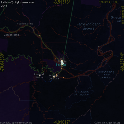
Analysis of Leticia night lights 2016
Square area 10x10 km:
 1.3%
1.3%90-99
9.09%80-89
3.46%70-79
0%60-69
0%50-59
0.43%40-49
1.52%30-39
8.01%20-29
1.73%10-19
14.5%0-9
59.96%Square area 50x50 km:
0.06%90-99
0.42%80-89
0.24%70-79
0%60-69
0.15%50-59
0.16%40-49
0.1%30-39
0.47%20-29
0.07%10-19
0.65%0-9
97.69%Clear (daylight) street map image can be seen on geolist.org.
Map coordinates:
3° 30' 49.5" South, 70° 38' 37.3" West
4° 12' 55" South, 69° 56' 26" West
4° 54' 58.2" South, 69° 14' 14.8" West
Some cities around Leticia sort by population:
• Tabatinga, BR
1.8 km =1.1 mi,  172°
172°
• Eirunepé, BR
272 km =169 mi,  178°
178°
• Benjamin Constant, BR
20.5 km =12.7 mi,  209°
209°
• São Paulo de Olivença, BR
150.7 km =93.6 mi,  51°
51°
• Envira, BR
344.3 km =213.9 mi,  185°
185°
• Santo Antônio do Içá, BR
254.2 km =158 mi,  60°
60°
• Jutaí, BR
157.7 km =98 mi,  133°
133°
• Ramón Castilla, PE
5.4 km =3.4 mi,  200°
200°
3676623 (p: 29,666)
Sources (retrieved 2019-11-25):
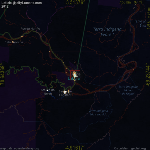
» Earth at Night: Flat Maps 2012, 2016