Custódia night lights from space
Night Light of Custódia (Pernambuco) from space (Brazil) Src. Average luminocity for 10x10km area is 12.2231% and for 50x50km: 0.756%.
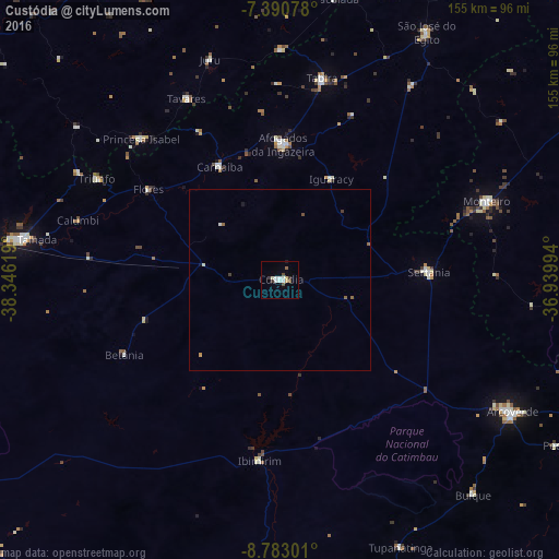
Analysis of Custódia night lights 2016
Square area 10x10 km:
 1.86%
1.86%90-99
3.72%80-89
1.86%70-79
0%60-69
0.41%50-59
1.24%40-49
1.65%30-39
2.48%20-29
0%10-19
0.41%0-9
86.36%Square area 50x50 km:
0.08%90-99
0.19%80-89
0.11%70-79
0.03%60-69
0.02%50-59
0.19%40-49
0.12%30-39
0.15%20-29
0%10-19
0.1%0-9
99.02%Clear (daylight) street map image can be seen on geolist.org.
Map coordinates:
7° 23' 26.8" South, 38° 20' 46.3" West
8° 5' 15" South, 37° 38' 35" West
8° 46' 58.8" South, 36° 56' 23.8" West
Some cities around Custódia sort by population:
• Afogados da Ingazeira
37.4 km =23.2 mi,  0°
0°
• Sertânia
41.7 km =25.9 mi,  87°
87°
• Monteiro
61.7 km =38.3 mi,  69°
69°
• Tabira
56.4 km =35 mi,  11°
11°
• Princesa Isabel
54.9 km =34.1 mi,  315°
315°
• Ibimirim
50.6 km =31.4 mi,  185°
185°
• Flores
43.9 km =27.3 mi,  303°
303°
• Carnaíba
68.2 km =42.4 mi,  182°
182°
3401138 (p: 18,107)
Sources (retrieved 2019-11-25):
» Earth at Night: Flat Maps 2012, 2016