Monteiro night lights from space
Night Light of Monteiro (Paraíba) from space (Brazil) Src. Average luminocity for 10x10km area is 23.9649% and for 50x50km: 2.3653%.
Analysis of Monteiro night lights 2016
Square area 10x10 km:
 2.27%
2.27%90-99
5.17%80-89
3.31%70-79
0.83%60-69
1.45%50-59
3.1%40-49
5.17%30-39
6.61%20-29
3.72%10-19
20.66%0-9
47.73%Square area 50x50 km:
0.16%90-99
0.42%80-89
0.26%70-79
0.08%60-69
0.26%50-59
0.37%40-49
0.42%30-39
0.71%20-29
0.5%10-19
0.98%0-9
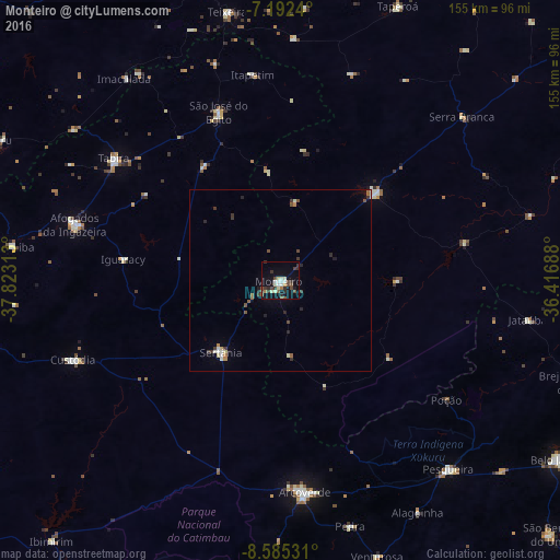
95.83%Clear (daylight) street map image can be seen on geolist.org.
Map coordinates:
7° 11' 32.6" South, 37° 49' 23.3" West
7° 53' 22" South, 37° 7' 12" West
8° 35' 7.1" South, 36° 25' 0.8" West
Some cities around Monteiro sort by population:
• Arcoverde
59.3 km =36.8 mi,  172°
172°
• Afogados da Ingazeira
59.2 km =36.8 mi,  285°
285°
• São José do Egito
48.7 km =30.3 mi,  339°
339°
• Sertânia
25.9 km =16.1 mi,  217°
217°
• Custódia
61.7 km =38.3 mi,  249°
249°
• Tabira
56.9 km =35.4 mi,  305°
305°
• Sumé
35.9 km =22.3 mi,  47°
47°
• Desterro
66.7 km =41.4 mi,  2°
2°
3394549 (p: 17,726)
Sources (retrieved 2019-11-25):
» Earth at Night: Flat Maps 2012, 2016