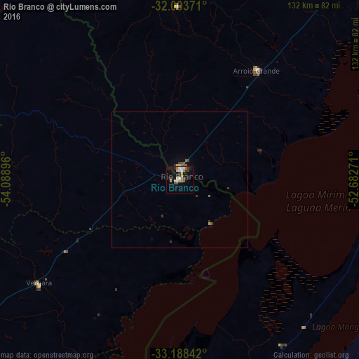
Río Branco night lights from space
Night Light of Río Branco (Cerro Largo) from space (Uruguay) Src. Average luminocity for 10x10km area is 19.3024% and for 50x50km: 1.1406%.
Analysis of Río Branco night lights 2016
Square area 10x10 km:
 2.1%
2.1%90-99
2.45%80-89
2.27%70-79
2.97%60-69
2.45%50-59
4.37%40-49
1.92%30-39
3.5%20-29
1.92%10-19
12.59%0-9
63.46%Square area 50x50 km:
0.09%90-99
0.1%80-89
0.12%70-79
0.15%60-69
0.12%50-59
0.3%40-49
0.19%30-39
0.3%20-29
0.08%10-19
0.61%0-9
97.93%Clear (daylight) street map image can be seen on geolist.org.
Map coordinates:
32° 0' 13.4" South, 54° 5' 20.3" West
32° 35' 52.9" South, 53° 23' 9" West
33° 11' 18.3" South, 52° 40' 57.8" West
Some cities around Río Branco sort by population:
• Melo
77.6 km =48.2 mi,  289°
289°
• Jaguarão, BR
3.7 km =2.3 mi,  14°
14°
• Santa Vitória do Palmar, BR
102.4 km =63.6 mi,  179°
179°
• Treinta y Tres
116.9 km =72.6 mi,  232°
232°
• Herval, BR
63.9 km =39.7 mi,  359°
359°
• Arroio Grande, BR
48.9 km =30.4 mi,  34°
34°
• Pinheiro Machado, BR
113.4 km =70.5 mi,  0°
0°
• Chuí, BR
121.7 km =75.6 mi, 183°
3440791 (p: 13,567)
Sources (retrieved 2019-11-25):
» Earth at Night: Flat Maps 2012, 2016