Cerquilho night lights from space
Night Light of Cerquilho (São Paulo) from space (Brazil) Src. Average luminocity for 10x10km area is 37.3049% and for 50x50km: 15.7479%.
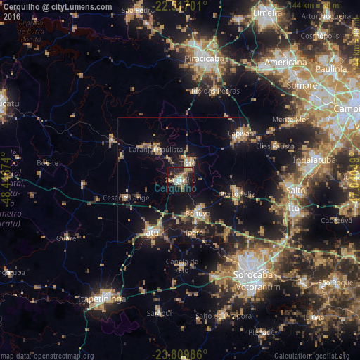
Analysis of Cerquilho night lights 2016
Square area 10x10 km:
 5.49%
5.49%90-99
3.6%80-89
4.17%70-79
6.25%60-69
7.2%50-59
5.3%40-49
3.79%30-39
7.01%20-29
13.07%10-19
34.47%0-9
9.66%Square area 50x50 km:
1.29%90-99
1.26%80-89
1.68%70-79
3.41%60-69
2.22%50-59
2.35%40-49
1.84%30-39
2.93%20-29
3.99%10-19
16.42%0-9
62.61%Clear (daylight) street map image can be seen on geolist.org.
Map coordinates:
22° 31' 1.2" South, 48° 26' 48.3" West
23° 9' 54" South, 47° 44' 37" West
23° 48' 35.5" South, 47° 2' 25.8" West
Some cities around Cerquilho sort by population:
• Tatuí
24.1 km =15 mi,  208°
208°
• Boituva
15 km =9.3 mi,  150°
150°
• Porto Feliz
23.1 km =14.4 mi,  103°
103°
• Capivari
30.6 km =19 mi,  51°
51°
• Tietê
7.6 km =4.7 mi,  22°
22°
• Laranjal Paulista
16 km =9.9 mi,  323°
323°
• Iperó
21.4 km =13.3 mi,  164°
164°
• Conchas
32 km =19.9 mi,  301°
301°
3466429 (p: 35,367)
Sources (retrieved 2019-11-25):
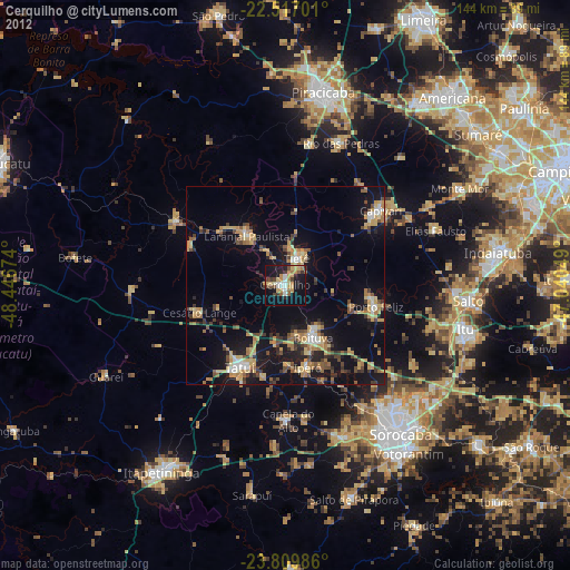
» Earth at Night: Flat Maps 2012, 2016