Tatuí night lights from space
Night Light of Tatuí (São Paulo) from space (Brazil) Src. Average luminocity for 10x10km area is 45.7879% and for 50x50km: 12.9412%.
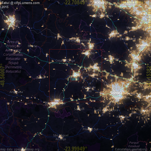
Analysis of Tatuí night lights 2016
Square area 10x10 km:
 7.39%
7.39%90-99
7.01%80-89
5.11%70-79
11.93%60-69
6.06%50-59
6.63%40-49
2.46%30-39
6.06%20-29
12.88%10-19
32.01%0-9
2.46%Square area 50x50 km:
0.99%90-99
1%80-89
1%70-79
2.67%60-69
1.9%50-59
2.07%40-49
1.51%30-39
2.86%20-29
3.59%10-19
12.11%0-9
70.31%Clear (daylight) street map image can be seen on geolist.org.
Map coordinates:
22° 42' 30.6" South, 48° 33' 36.3" West
23° 21' 20" South, 47° 51' 25" West
23° 59' 58.2" South, 47° 9' 13.8" West
Some cities around Tatuí sort by population:
• Itapetininga
33 km =20.5 mi,  217°
217°
• Boituva
20.5 km =12.7 mi,  66°
66°
• Cerquilho
24.1 km =15 mi,  28°
28°
• Tietê
31.7 km =19.7 mi, 27°
• Laranjal Paulista
34.1 km =21.2 mi,  3°
3°
• Iperó
17.2 km =10.7 mi,  88°
88°
• Araçoiaba da Serra
29.8 km =18.5 mi,  123°
123°
• Capela do Alto
17.9 km =11.1 mi,  135°
135°
3446692 (p: 93,580)
Sources (retrieved 2019-11-25):
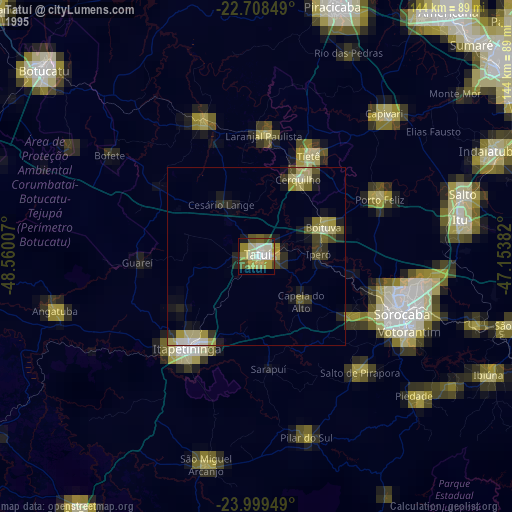
» NASA, Earths city lights 1995
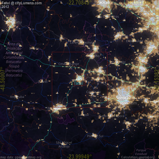
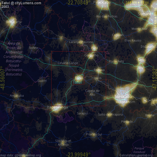
» NASA city lights 2003
» Earth at Night: Flat Maps 2012, 2016