Boituva night lights from space
Night Light of Boituva (São Paulo) from space (Brazil) Src. Average luminocity for 10x10km area is 47.0133% and for 50x50km: 21.4789%.
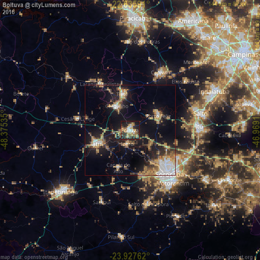
Analysis of Boituva night lights 2016
Square area 10x10 km:
 6.25%
6.25%90-99
5.87%80-89
7.2%70-79
10.8%60-69
5.87%50-59
7.2%40-49
5.3%30-39
8.52%20-29
20.45%10-19
20.83%0-9
1.7%Square area 50x50 km:
3.15%90-99
2.16%80-89
2.17%70-79
4.06%60-69
3.11%50-59
2.97%40-49
2.28%30-39
4.13%20-29
5.12%10-19
17.74%0-9
53.11%Clear (daylight) street map image can be seen on geolist.org.
Map coordinates:
22° 38' 9.3" South, 48° 22' 31.3" West
23° 16' 60" South, 47° 40' 20" West
23° 55' 39.4" South, 46° 58' 8.8" West
Some cities around Boituva sort by population:
• Tatuí
20.5 km =12.7 mi,  246°
246°
• Porto Feliz
17 km =10.6 mi,  63°
63°
• Cerquilho
15 km =9.3 mi,  330°
330°
• Tietê
20.6 km =12.8 mi,  347°
347°
• Laranjal Paulista
30.9 km =19.2 mi, 327°
• Iperó
7.6 km =4.7 mi,  192°
192°
• Araçoiaba da Serra
25.4 km =15.8 mi,  166°
166°
• Capela do Alto
21.8 km =13.5 mi,  197°
197°
3469540 (p: 48,750)
Sources (retrieved 2019-11-25):
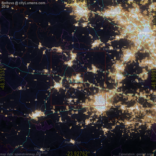
» Earth at Night: Flat Maps 2012, 2016