Timon night lights from space
Night Light of Timon (Maranhão) from space (Brazil) Src. Average luminocity for 10x10km area is 86.6694% and for 50x50km: 22.5938%.
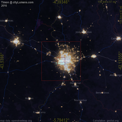
Analysis of Timon night lights 2016
Square area 10x10 km:
 40.08%
90-99
28.51%80-89
5.79%70-79
1.86%60-69
7.23%50-59
9.5%40-49
5.58%30-39
0.62%20-29
0.83%10-19
0%0-9
0%Square area 50x50 km:
4.41%90-99
5.21%80-89
1.56%70-79
1.51%60-69
3.3%50-59
4.65%40-49
3.77%30-39
3.21%20-29
4.84%10-19
8.69%0-9
58.85%Clear (daylight) street map image can be seen on geolist.org.
Map coordinates:
4° 23' 36.5" South, 43° 32' 23.3" West
5° 5' 39" South, 42° 50' 12" West
5° 47' 38.8" South, 42° 8' 0.8" West
Some cities around Timon sort by population:
• Teresina
3.9 km =2.4 mi,  81°
81°
• Caxias
63.2 km =39.3 mi,  294°
294°
• Altos
42.2 km =26.2 mi, 81°
• José de Freitas
47.4 km =29.5 mi,  37°
37°
• União
56.6 km =35.2 mi,  356°
356°
• Demerval Lobão
34.3 km =21.3 mi,  148°
148°
• Parnarama
71.2 km =44.2 mi,  203°
203°
• Beneditinos
65.4 km =40.6 mi,  127°
127°
3386361 (p: 124,427)
Sources (retrieved 2019-11-25):
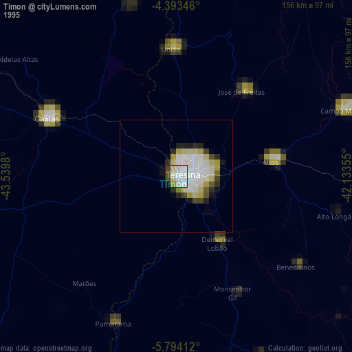
» NASA, Earths city lights 1995
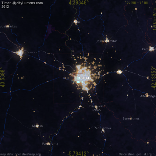
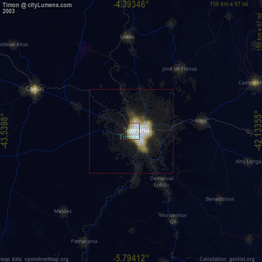
» NASA city lights 2003
» Earth at Night: Flat Maps 2012, 2016