Codó night lights from space
Night Light of Codó (Maranhão) from space (Brazil) Src. Average luminocity for 10x10km area is 40.8822% and for 50x50km: 2.7963%.
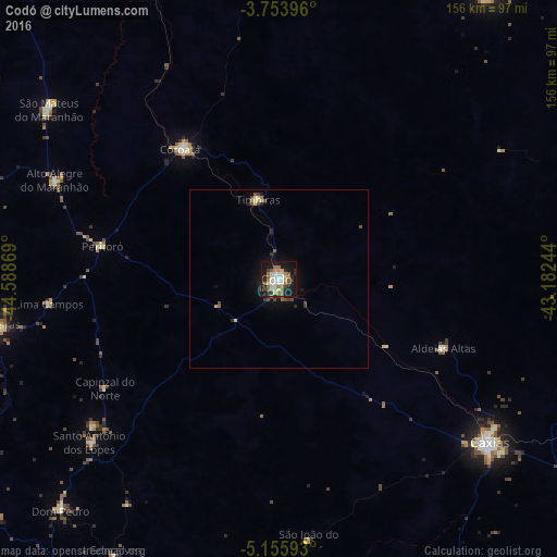
Analysis of Codó night lights 2016
Square area 10x10 km:
 4.75%
4.75%90-99
10.54%80-89
4.34%70-79
3.72%60-69
8.68%50-59
7.64%40-49
1.65%30-39
4.55%20-29
8.06%10-19
38.02%0-9
8.06%Square area 50x50 km:
0.2%90-99
0.49%80-89
0.33%70-79
0.26%60-69
0.48%50-59
0.45%40-49
0.39%30-39
0.41%20-29
0.57%10-19
2.29%0-9
94.14%Clear (daylight) street map image can be seen on geolist.org.
Map coordinates:
3° 45' 14.3" South, 44° 35' 19.3" West
4° 27' 19" South, 43° 53' 8" West
5° 9' 21.3" South, 43° 10' 56.8" West
Some cities around Codó sort by population:
• Caxias
73.9 km =45.9 mi,  127°
127°
• Chapadinha
98.4 km =61.1 mi,  36°
36°
• Coroatá
44.8 km =27.8 mi,  323°
323°
• São Mateus do Maranhão
79.9 km =49.6 mi,  305°
305°
• Timbiras
23.1 km =14.4 mi,  344°
344°
• Dom Pedro
89.1 km =55.4 mi,  223°
223°
• Santa Rita
65.9 km =40.9 mi,  2°
2°
• Pirapemas
89.3 km =55.5 mi, 335°
3402000 (p: 83,288)
Sources (retrieved 2019-11-25):
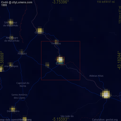
» NASA, Earths city lights 1995
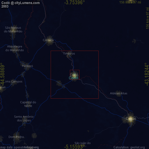
» NASA city lights 2003
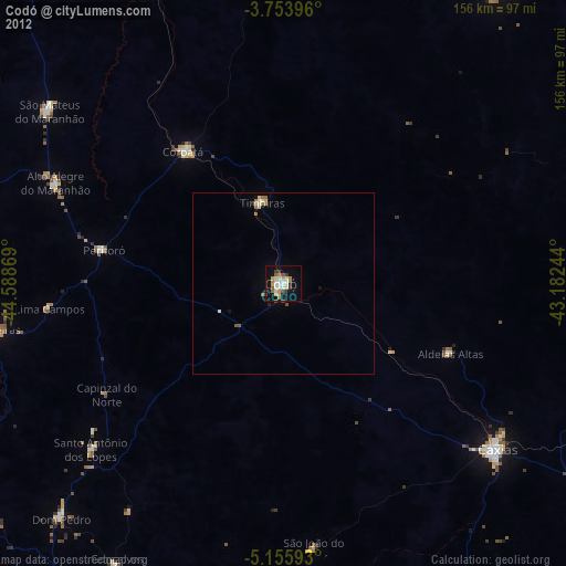
» Earth at Night: Flat Maps 2012, 2016