Cascavel night lights from space
Night Light of Cascavel (Paraná) from space (Brazil) Src. Average luminocity for 10x10km area is 80.2708% and for 50x50km: 7.3234%.
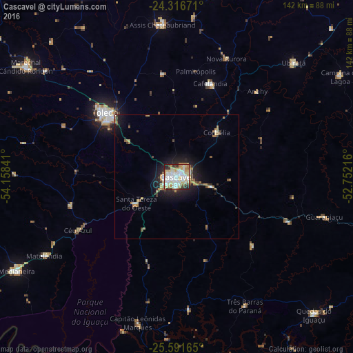
Analysis of Cascavel night lights 2016
Square area 10x10 km:
 28.22%
90-99
21.97%80-89
15.34%70-79
10.61%60-69
6.63%50-59
0.19%40-49
4.73%30-39
3.03%20-29
8.52%10-19
0.76%0-9
0%Square area 50x50 km:
1.27%90-99
1.19%80-89
1.22%70-79
0.97%60-69
1%50-59
0.34%40-49
0.65%30-39
0.73%20-29
1.98%10-19
4.61%0-9
86.04%Clear (daylight) street map image can be seen on geolist.org.
Map coordinates:
24° 19' 0.2" South, 54° 9' 30.3" West
24° 57' 21" South, 53° 27' 19" West
25° 35' 29.9" South, 52° 45' 7.8" West
Some cities around Cascavel sort by population:
• Toledo
39.6 km =24.6 mi,  312°
312°
• Marechal Cândido Rondon
75.3 km =46.8 mi, 306°
• Medianeira
74.5 km =46.3 mi,  239°
239°
• Palotina
84.2 km =52.3 mi,  332°
332°
• São Miguel do Iguaçu
90 km =55.9 mi, 241°
• Corbélia
23 km =14.3 mi,  40°
40°
• Matelândia
63 km =39.1 mi, 239°
• Guaraniaçu
60.3 km =37.5 mi,  105°
105°
3466779 (p: 257,172)
Sources (retrieved 2019-11-25):
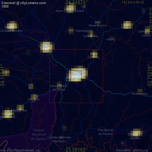
» NASA, Earths city lights 1995
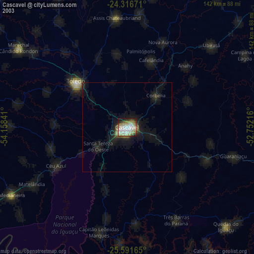
» NASA city lights 2003
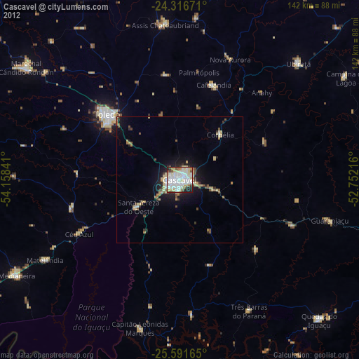
» Earth at Night: Flat Maps 2012, 2016