Palotina night lights from space
Night Light of Palotina (Paraná) from space (Brazil) Src. Average luminocity for 10x10km area is 18.2481% and for 50x50km: 1.6951%.
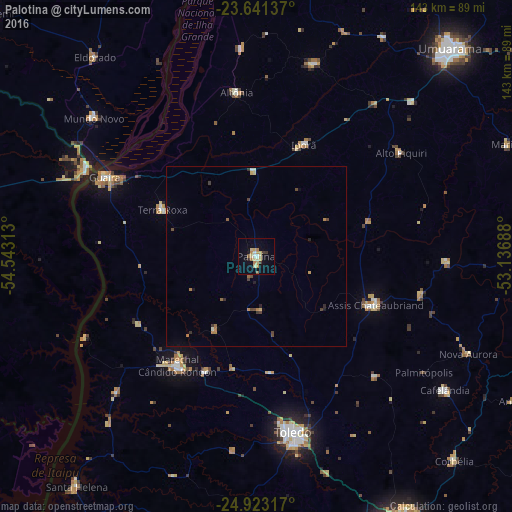
Analysis of Palotina night lights 2016
Square area 10x10 km:
 0.95%
0.95%90-99
2.27%80-89
6.63%70-79
2.65%60-69
1.89%50-59
1.52%40-49
0.19%30-39
2.08%20-29
0.76%10-19
8.14%0-9
72.92%Square area 50x50 km:
0.04%90-99
0.19%80-89
0.37%70-79
0.2%60-69
0.37%50-59
0.13%40-49
0.35%30-39
0.27%20-29
0.19%10-19
0.45%0-9
97.47%Clear (daylight) street map image can be seen on geolist.org.
Map coordinates:
23° 38' 28.9" South, 54° 32' 35.3" West
24° 17' 2" South, 53° 50' 24" West
24° 55' 23.4" South, 53° 8' 12.8" West
Some cities around Palotina sort by population:
• Toledo
48.8 km =30.3 mi,  168°
168°
• Umuarama
77.8 km =48.3 mi,  42°
42°
• Marechal Cândido Rondon
37.4 km =23.2 mi,  215°
215°
• Altãnia
46 km =28.6 mi,  352°
352°
• Iporã
34.1 km =21.2 mi,  23°
23°
• Alto Piquiri
49.5 km =30.8 mi,  54°
54°
• Eldorado
71.3 km =44.3 mi,  320°
320°
• Salto del Guairá, PY
53.4 km =33.2 mi,  297°
297°
3455298 (p: 23,059)
Sources (retrieved 2019-11-25):
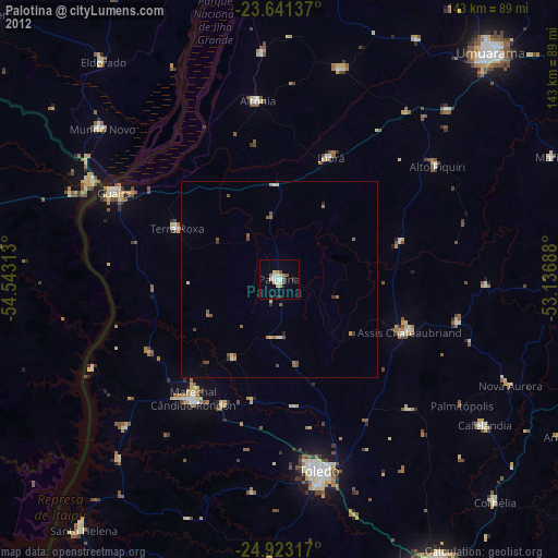
» Earth at Night: Flat Maps 2012, 2016