Toledo night lights from space
Night Light of Toledo (Paraná) from space (Brazil) Src. Average luminocity for 10x10km area is 57.3433% and for 50x50km: 4.5753%.
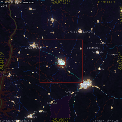
Analysis of Toledo night lights 2016
Square area 10x10 km:
 16.87%
90-99
17.26%80-89
6.94%70-79
4.17%60-69
4.96%50-59
2.18%40-49
2.18%30-39
7.34%20-29
13.49%10-19
23.02%0-9
1.59%Square area 50x50 km:
0.76%90-99
0.78%80-89
0.57%70-79
0.52%60-69
0.47%50-59
0.39%40-49
0.43%30-39
0.72%20-29
1.07%10-19
3.53%0-9
90.76%Clear (daylight) street map image can be seen on geolist.org.
Map coordinates:
24° 4' 23.7" South, 54° 26' 46.3" West
24° 42' 49" South, 53° 44' 35" West
25° 21' 2.5" South, 53° 2' 23.8" West
Some cities around Toledo sort by population:
• Cascavel
39.6 km =24.6 mi,  132°
132°
• Marechal Cândido Rondon
36.2 km =22.5 mi,  298°
298°
• Medianeira
73.7 km =45.8 mi,  208°
208°
• Palotina
48.8 km =30.3 mi,  348°
348°
• Corbélia
45.1 km =28 mi,  102°
102°
• Matelândia
63.9 km =39.7 mi,  203°
203°
• Iporã
79.1 km =49.2 mi,  2°
2°
• Alto Piquiri
82.2 km =51.1 mi,  21°
21°
3446370 (p: 119,313)
Sources (retrieved 2019-11-25):
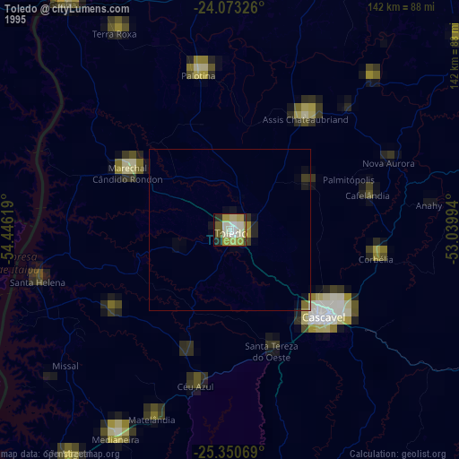
» NASA, Earths city lights 1995
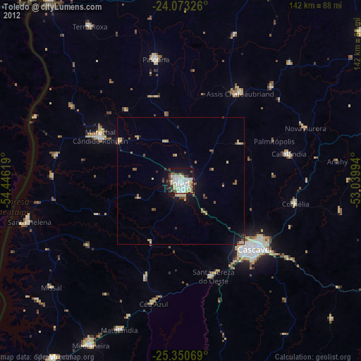
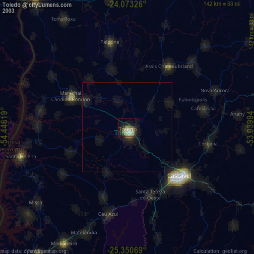
» NASA city lights 2003
» Earth at Night: Flat Maps 2012, 2016