São Miguel do Iguaçu night lights from space
Night Light of São Miguel do Iguaçu (Paraná) from space (Brazil) Src. Average luminocity for 10x10km area is 12.3135% and for 50x50km: 3.4463%.
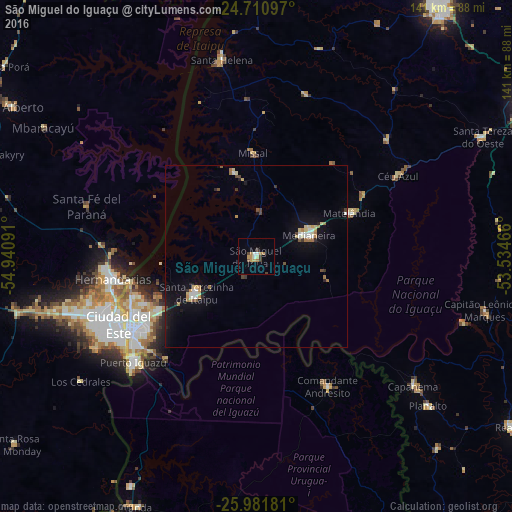
Analysis of São Miguel do Iguaçu night lights 2016
Square area 10x10 km:
 1.39%
1.39%90-99
0.99%80-89
0.99%70-79
3.37%60-69
2.78%50-59
0.79%40-49
2.18%30-39
1.39%20-29
0%10-19
0.4%0-9
85.71%Square area 50x50 km:
0.36%90-99
0.44%80-89
0.43%70-79
0.43%60-69
0.58%50-59
0.2%40-49
0.36%30-39
0.3%20-29
0.31%10-19
2.9%0-9
93.68%Clear (daylight) street map image can be seen on geolist.org.
Map coordinates:
24° 42' 39.5" South, 54° 56' 27.3" West
25° 20' 53" South, 54° 14' 16" West
25° 58' 54.5" South, 53° 32' 4.8" West
Some cities around São Miguel do Iguaçu sort by population:
• Ciudad del Este, PY
41.6 km =25.8 mi,  244°
244°
• Foz do Iguaçu
41.6 km =25.8 mi, 237°
• Presidente Franco, PY
44.5 km =27.7 mi, 237°
• Medianeira
15.6 km =9.7 mi,  67°
67°
• Puerto Iguazú, AR
43.8 km =27.2 mi,  230°
230°
• Wanda, AR
76.3 km =47.4 mi,  205°
205°
• Matelândia
27 km =16.8 mi,  63°
63°
• Puerto Libertad, AR
72.3 km =44.9 mi, 208°
3448453 (p: 15,434)
Sources (retrieved 2019-11-25):
» Earth at Night: Flat Maps 2012, 2016