Guaíba night lights from space
Night Light of Guaíba (Rio Grande do Sul) from space (Brazil) Src. Average luminocity for 10x10km area is 49.7273% and for 50x50km: 26.0761%.
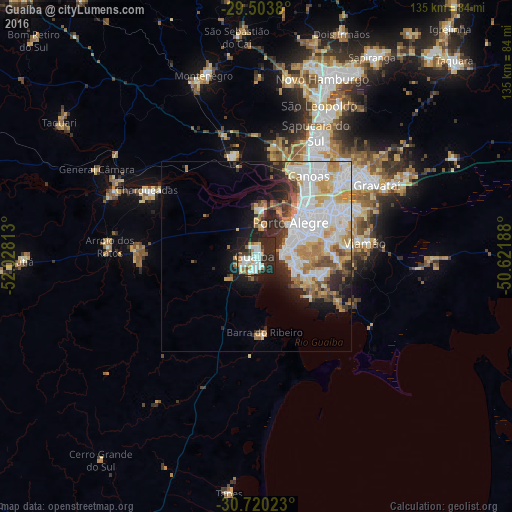
Analysis of Guaíba night lights 2016
Square area 10x10 km:
 11.93%
90-99
11.93%80-89
4.55%70-79
4.73%60-69
5.3%50-59
2.27%40-49
3.22%30-39
5.11%20-29
36.17%10-19
14.77%0-9
0%Square area 50x50 km:
8.59%90-99
4.91%80-89
3.26%70-79
3.29%60-69
3.01%50-59
2.05%40-49
1.89%30-39
2.45%20-29
5.17%10-19
6.41%0-9
58.98%Clear (daylight) street map image can be seen on geolist.org.
Map coordinates:
29° 30' 13.7" South, 52° 1' 41.3" West
30° 6' 50" South, 51° 19' 30" West
30° 43' 12.8" South, 50° 37' 18.8" West
Some cities around Guaíba sort by population:
• Porto Alegre
12.8 km =8 mi,  45°
45°
• Canoas
25.7 km =16 mi,  31°
31°
• Viamão
29.2 km =18.1 mi,  82°
82°
• Gravataí
37.2 km =23.1 mi,  59°
59°
• Sapucaia
35.5 km =22.1 mi, 28°
• Cachoeirinha
28.7 km =17.8 mi, 50°
• Esteio
31.4 km =19.5 mi, 26°
• Charqueadas
33.9 km =21.1 mi,  301°
301°
3473964 (p: 101,024)
Sources (retrieved 2019-11-25):
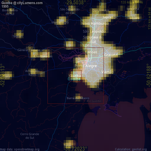
» NASA, Earths city lights 1995
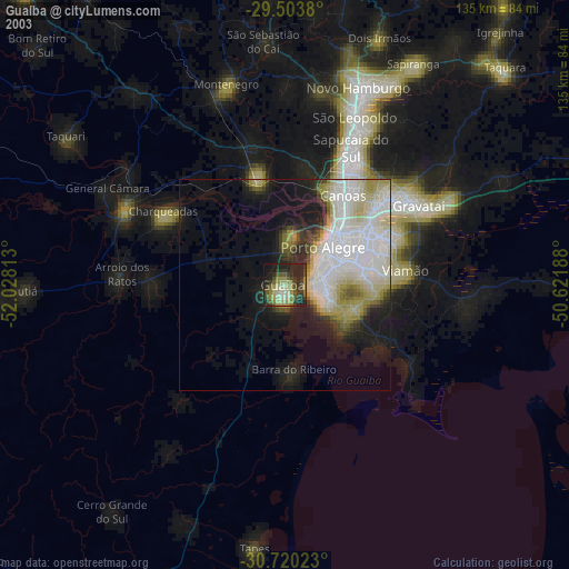
» NASA city lights 2003
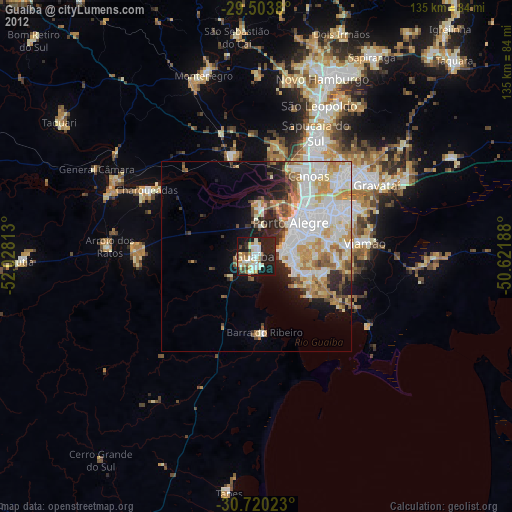
» Earth at Night: Flat Maps 2012, 2016