Caeté night lights from space
Night Light of Caeté (Minas Gerais) from space (Brazil) Src. Average luminocity for 10x10km area is 17.3247% and for 50x50km: 15.5835%.
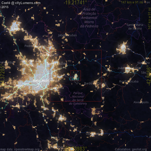
Analysis of Caeté night lights 2016
Square area 10x10 km:
 0.87%
0.87%90-99
0.87%80-89
3.46%70-79
5.41%60-69
2.38%50-59
0.87%40-49
3.46%30-39
0.87%20-29
1.08%10-19
4.98%0-9
75.76%Square area 50x50 km:
1.43%90-99
1.46%80-89
1.52%70-79
4.51%60-69
2.78%50-59
2.11%40-49
3.67%30-39
2.45%20-29
2.8%10-19
6.84%0-9
70.43%Clear (daylight) street map image can be seen on geolist.org.
Map coordinates:
19° 13' 2.7" South, 44° 22' 22.3" West
19° 52' 48" South, 43° 40' 11" West
20° 32' 23.4" South, 42° 57' 59.8" West
Some cities around Caeté sort by population:
• Belo Horizonte
28.4 km =17.6 mi,  260°
260°
• Contagem
40.5 km =25.2 mi, 261°
• Santa Luzia
22.6 km =14 mi,  302°
302°
• Vespasiano
33.8 km =21 mi,  308°
308°
• Nova Lima
21.9 km =13.6 mi,  237°
237°
• Lagoa Santa
36.8 km =22.9 mi,  318°
318°
• Barão de Cocais
20.4 km =12.7 mi,  110°
110°
• Raposos
17.1 km =10.6 mi, 235°
3468327 (p: 33,231)
Sources (retrieved 2019-11-25):
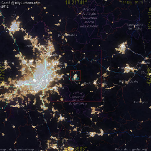
» Earth at Night: Flat Maps 2012, 2016