Águas Belas night lights from space
Night Light of Águas Belas (Pernambuco) from space (Brazil) Src. Average luminocity for 10x10km area is 12.4113% and for 50x50km: 1.6313%.
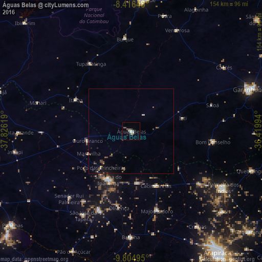
Analysis of Águas Belas night lights 2016
Square area 10x10 km:
 1.3%
1.3%90-99
3.03%80-89
0%70-79
1.73%60-69
0.87%50-59
4.11%40-49
1.08%30-39
1.73%20-29
1.73%10-19
0%0-9
84.42%Square area 50x50 km:
0.07%90-99
0.22%80-89
0.08%70-79
0.12%60-69
0.25%50-59
0.37%40-49
0.37%30-39
0.32%20-29
0.34%10-19
0.64%0-9
97.2%Clear (daylight) street map image can be seen on geolist.org.
Map coordinates:
8° 24' 59.3" South, 37° 49' 34.3" West
9° 6' 41" South, 37° 7' 23" West
9° 48' 17.8" South, 36° 25' 11.8" West
Some cities around Águas Belas sort by population:
• Bom Conselho
49.1 km =30.5 mi,  97°
97°
• Santana do Ipanema
32.6 km =20.3 mi,  204°
204°
• Buíque
54.4 km =33.8 mi,  356°
356°
• Itaíba
37.6 km =23.4 mi,  298°
298°
• São José da Tapera
57.2 km =35.5 mi,  209°
209°
• Batalha
63 km =39.1 mi,  180°
180°
• Major Isidoro
49.2 km =30.6 mi,  162°
162°
• Tupanatinga
46.4 km =28.8 mi,  329°
329°
3408166 (p: 22,563)
Sources (retrieved 2019-11-25):
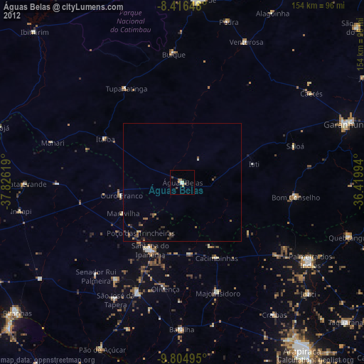
» Earth at Night: Flat Maps 2012, 2016