Lençóis Paulista night lights from space
Night Light of Lençóis Paulista (São Paulo) from space (Brazil) Src. Average luminocity for 10x10km area is 41.1856% and for 50x50km: 7.797%.
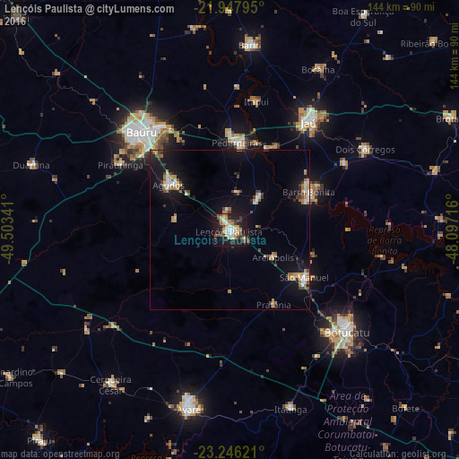

Analysis of Lençóis Paulista night lights 2016
Square area 10x10 km:
 6.82%
6.82%90-99
5.68%80-89
6.06%70-79
9.85%60-69
2.27%50-59
4.92%40-49
2.84%30-39
7.2%20-29
10.98%10-19
38.45%0-9
4.92%Square area 50x50 km:
0.89%90-99
0.86%80-89
0.82%70-79
1.33%60-69
1.11%50-59
0.75%40-49
0.98%30-39
0.97%20-29
0.98%10-19
8.16%0-9
83.15%Clear (daylight) street map image can be seen on geolist.org.
Map coordinates:
21° 56' 52.6" South, 49° 30' 12.3" West
22° 35' 55" South, 48° 48' 1" West
23° 14' 46.4" South, 48° 5' 49.8" West
Some cities around Lençóis Paulista sort by population:
• Bauru
41.4 km =25.7 mi,  319°
319°
• Pederneiras
27.6 km =17.1 mi,  5°
5°
• Barra Bonita
27.4 km =17 mi,  65°
65°
• São Manuel
27.8 km =17.3 mi,  122°
122°
• Agudos
24 km =14.9 mi,  306°
306°
• Igaraçu do Tietê
26.8 km =16.7 mi, 68°
• Macatuba
14.1 km =8.8 mi,  40°
40°
• Itapuí
41.5 km =25.8 mi, 11°
3458645 (p: 57,375)
Sources (retrieved 2019-11-25):
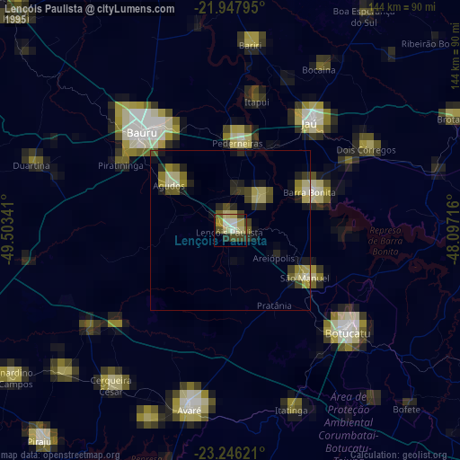
» NASA, Earths city lights 1995
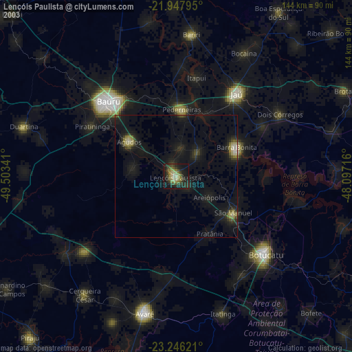
» NASA city lights 2003
» Earth at Night: Flat Maps 2012, 2016