Jaú night lights from space
Night Light of Jaú (São Paulo) from space (Brazil) Src. Average luminocity for 10x10km area is 51.0417% and for 50x50km: 9.3669%.
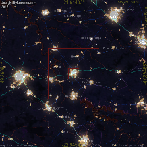
Analysis of Jaú night lights 2016
Square area 10x10 km:
 8.14%
8.14%90-99
10.8%80-89
4.73%70-79
13.26%60-69
8.52%50-59
4.17%40-49
5.11%30-39
4.73%20-29
11.36%10-19
27.46%0-9
1.7%Square area 50x50 km:
0.98%90-99
1.23%80-89
0.82%70-79
1.8%60-69
1.47%50-59
0.82%40-49
1.46%30-39
1.47%20-29
1.23%10-19
6.33%0-9
82.39%Clear (daylight) street map image can be seen on geolist.org.
Map coordinates:
21° 38' 39.6" South, 49° 15' 39.3" West
22° 17' 47" South, 48° 33' 28" West
22° 56' 43.5" South, 47° 51' 16.8" West
Some cities around Jaú sort by population:
• Pederneiras
23.2 km =14.4 mi,  254°
254°
• Barra Bonita
22.1 km =13.7 mi,  180°
180°
• Bariri
31 km =19.3 mi,  322°
322°
• Igaraçu do Tietê
23.7 km =14.7 mi, 180°
• Dois Córregos
19.8 km =12.3 mi,  113°
113°
• Macatuba
27.8 km =17.3 mi,  214°
214°
• Boa Esperança do Sul
37.9 km =23.5 mi,  26°
26°
• Itapuí
18 km =11.2 mi,  292°
292°
3460005 (p: 119,206)
Sources (retrieved 2019-11-25):
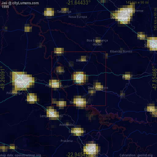
» NASA, Earths city lights 1995
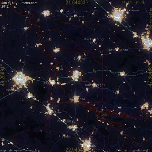
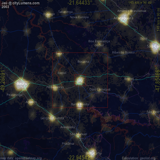
» NASA city lights 2003
» Earth at Night: Flat Maps 2012, 2016