Batatais night lights from space
Night Light of Batatais (São Paulo) from space (Brazil) Src. Average luminocity for 10x10km area is 28.0813% and for 50x50km: 4.6803%.
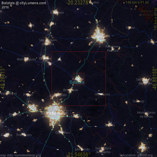
Analysis of Batatais night lights 2016
Square area 10x10 km:
 3.17%
3.17%90-99
5.95%80-89
3.97%70-79
6.15%60-69
2.78%50-59
2.98%40-49
1.19%30-39
0.79%20-29
2.38%10-19
31.55%0-9
39.09%Square area 50x50 km:
0.39%90-99
0.64%80-89
0.4%70-79
0.86%60-69
0.58%50-59
0.68%40-49
0.49%30-39
0.63%20-29
1.27%10-19
3.1%0-9
90.94%Clear (daylight) street map image can be seen on geolist.org.
Map coordinates:
20° 13' 58" South, 48° 17' 17.3" West
20° 53' 28" South, 47° 35' 6" West
21° 32' 47.6" South, 46° 52' 54.8" West
Some cities around Batatais sort by population:
• Ribeirão Preto
39.5 km =24.5 mi,  216°
216°
• Franca
43.6 km =27.1 mi,  26°
26°
• Orlândia
36.7 km =22.8 mi,  301°
301°
• Serrana
35.6 km =22.1 mi,  181°
181°
• Jardinópolis
23.3 km =14.5 mi,  232°
232°
• Brodósqui
13.5 km =8.4 mi,  214°
214°
• Altinópolis
26.5 km =16.5 mi,  124°
124°
• Nuporanga
24.9 km =15.5 mi,  315°
315°
3470324 (p: 51,976)
Sources (retrieved 2019-11-25):
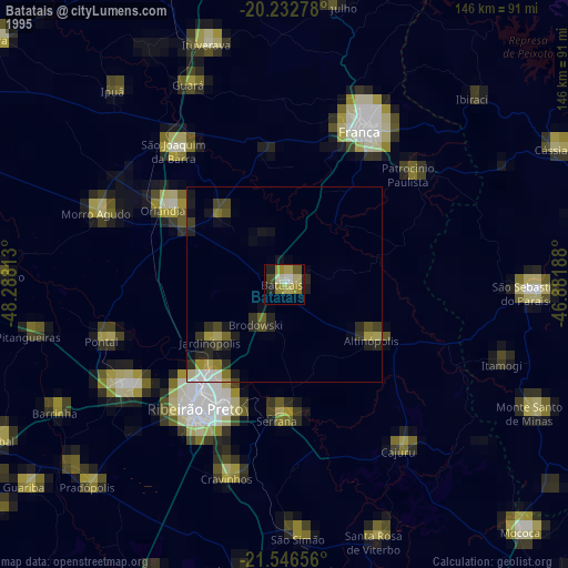
» NASA, Earths city lights 1995
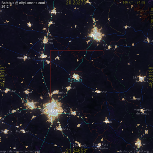
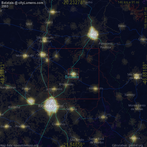
» NASA city lights 2003
» Earth at Night: Flat Maps 2012, 2016