Jardinópolis night lights from space
Night Light of Jardinópolis (São Paulo) from space (Brazil) Src. Average luminocity for 10x10km area is 21.4286% and for 50x50km: 16.0207%.
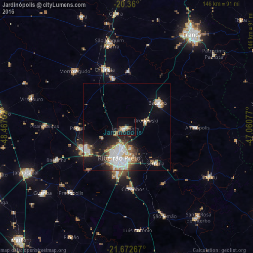
Analysis of Jardinópolis night lights 2016
Square area 10x10 km:
 2.18%
2.18%90-99
2.58%80-89
1.59%70-79
3.97%60-69
3.37%50-59
3.57%40-49
2.78%30-39
3.77%20-29
1.79%10-19
20.63%0-9
53.77%Square area 50x50 km:
3.92%90-99
2.95%80-89
1.11%70-79
2.33%60-69
1.77%50-59
1.78%40-49
1.64%30-39
1.75%20-29
3.55%10-19
8.44%0-9
70.76%Clear (daylight) street map image can be seen on geolist.org.
Map coordinates:
20° 21' 36" South, 48° 28' 1.3" West
21° 1' 4" South, 47° 45' 50" West
21° 40' 21.6" South, 47° 3' 38.8" West
Some cities around Jardinópolis sort by population:
• Ribeirão Preto
18.4 km =11.4 mi,  195°
195°
• Sertãozinho
27 km =16.8 mi,  240°
240°
• Batatais
23.3 km =14.5 mi,  52°
52°
• Orlândia
35.5 km =22.1 mi,  338°
338°
• Serrana
27.7 km =17.2 mi,  140°
140°
• Pontal
28.4 km =17.6 mi,  268°
268°
• Brodósqui
11.3 km =7 mi,  74°
74°
• Nuporanga
31.9 km =19.8 mi,  2°
2°
3460071 (p: 34,718)
Sources (retrieved 2019-11-25):
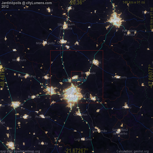
» Earth at Night: Flat Maps 2012, 2016