Bacabal night lights from space
Night Light of Bacabal (Maranhão) from space (Brazil) Src. Average luminocity for 10x10km area is 13.0152% and for 50x50km: 3.4126%.
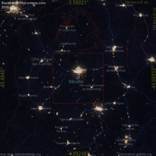
Analysis of Bacabal night lights 2016
Square area 10x10 km:
 0.22%
0.22%90-99
0.65%80-89
0%70-79
1.08%60-69
1.3%50-59
4.98%40-49
2.16%30-39
2.38%20-29
5.63%10-19
22.08%0-9
59.52%Square area 50x50 km:
0.22%90-99
0.42%80-89
0.48%70-79
0.32%60-69
0.29%50-59
0.59%40-49
0.73%30-39
0.73%20-29
0.98%10-19
2.91%0-9
92.34%Clear (daylight) street map image can be seen on geolist.org.
Map coordinates:
3° 35' 24.8" South, 45° 29' 41.3" West
4° 17' 30" South, 44° 47' 30" West
4° 59' 32.9" South, 44° 5' 18.8" West
Some cities around Bacabal sort by population:
• Coroatá
76.2 km =47.3 mi,  76°
76°
• São Mateus do Maranhão
44.8 km =27.8 mi,  51°
51°
• Lago da Pedra
49.5 km =30.8 mi,  270°
270°
• Pio XII
64.9 km =40.3 mi,  321°
321°
• Vitorino Freire
56.7 km =35.2 mi,  299°
299°
• Esperantinópolis
64.6 km =40.1 mi,  171°
171°
• Poção de Pedras
42.2 km =26.2 mi,  188°
188°
• Paulo Ramos
44.2 km =27.5 mi,  280°
280°
3406910 (p: 72,372)
Sources (retrieved 2019-11-25):
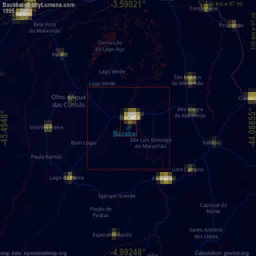
» NASA, Earths city lights 1995
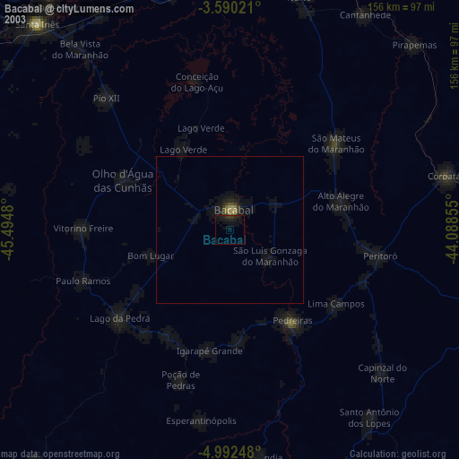
» NASA city lights 2003
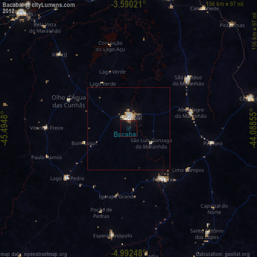
» Earth at Night: Flat Maps 2012, 2016