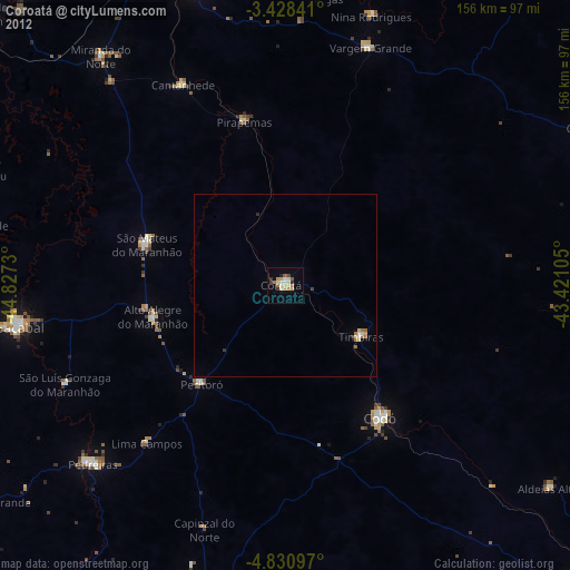
Coroatá night lights from space
Night Light of Coroatá (Maranhão) from space (Brazil) Src. Average luminocity for 10x10km area is 24.5801% and for 50x50km: 1.6036%.
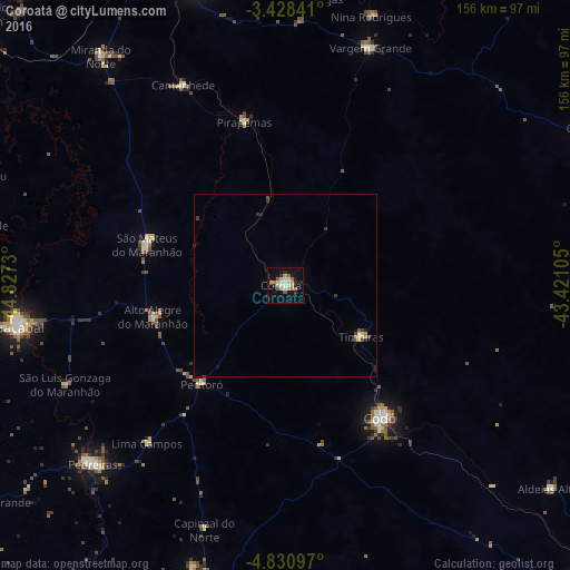
Analysis of Coroatá night lights 2016
Square area 10x10 km:
 0.87%
0.87%90-99
4.76%80-89
4.98%70-79
4.11%60-69
4.33%50-59
3.25%40-49
0.22%30-39
1.52%20-29
5.84%10-19
16.45%0-9
53.68%Square area 50x50 km:
0.03%90-99
0.24%80-89
0.31%70-79
0.23%60-69
0.21%50-59
0.2%40-49
0.14%30-39
0.26%20-29
0.41%10-19
0.71%0-9
97.26%Clear (daylight) street map image can be seen on geolist.org.
Map coordinates:
3° 25' 42.3" South, 44° 49' 38.3" West
4° 7' 48" South, 44° 7' 27" West
4° 49' 51.5" South, 43° 25' 15.8" West
Some cities around Coroatá sort by population:
• Codó
44.8 km =27.8 mi,  143°
143°
• Bacabal
76.2 km =47.3 mi,  256°
256°
• São Mateus do Maranhão
40.1 km =24.9 mi,  284°
284°
• Vargem Grande
69.2 km =43 mi,  19°
19°
• Timbiras
24.7 km =15.3 mi,  124°
124°
• Santa Rita
41.7 km =25.9 mi,  44°
44°
• Cantanhede
61.9 km =38.5 mi,  333°
333°
• Pirapemas
46.2 km =28.7 mi,  346°
346°
3401703 (p: 34,129)
Sources (retrieved 2019-11-25):
» Earth at Night: Flat Maps 2012, 2016