Vitorino Freire night lights from space
Night Light of Vitorino Freire (Maranhão) from space (Brazil) Src. Average luminocity for 10x10km area is 1.4026% and for 50x50km: 0.7523%.
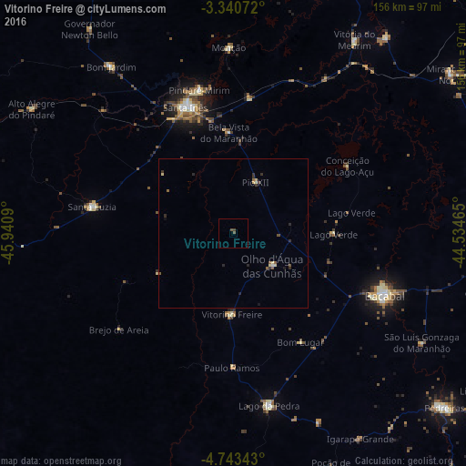
Analysis of Vitorino Freire night lights 2016
Square area 10x10 km:
 0%
0%90-99
0%80-89
0%70-79
0%60-69
0%50-59
0.87%40-49
1.08%30-39
0.65%20-29
0%10-19
0%0-9
97.4%Square area 50x50 km:
0.01%90-99
0.03%80-89
0.21%70-79
0.02%60-69
0.03%50-59
0.28%40-49
0.13%30-39
0.2%20-29
0.3%10-19
0.07%0-9
98.73%Clear (daylight) street map image can be seen on geolist.org.
Map coordinates:
3° 20' 26.6" South, 45° 56' 27.2" West
4° 2' 32.6" South, 45° 14' 16" West
4° 44' 36.3" South, 44° 32' 4.7" West
Some cities around Vitorino Freire sort by population:
• Bacabal
56.7 km =35.2 mi,  119°
119°
• Santa Inês
44.7 km =27.8 mi,  339°
339°
• Lago da Pedra
27.2 km =16.9 mi,  180°
180°
• Pindaré Mirim
49.7 km =30.9 mi,  346°
346°
• Pio XII
25.2 km =15.7 mi,  22°
22°
• Poção de Pedras
81.6 km =50.7 mi,  148°
148°
• Monção
61.3 km =38.1 mi,  358°
358°
• Paulo Ramos
20.3 km =12.6 mi,  162°
162°
3384983 (p: 13,267)
Sources (retrieved 2019-11-25):
» Earth at Night: Flat Maps 2012, 2016