Trinidad night lights from space
Night Light of Trinidad (El Beni) from space (Bolivia) Src. Average luminocity for 10x10km area is 39.436% and for 50x50km: 1.9226%.
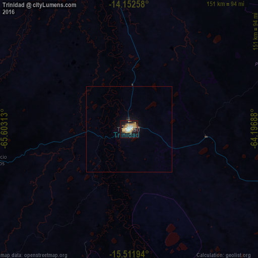
Analysis of Trinidad night lights 2016
Square area 10x10 km:
 3.72%
3.72%90-99
5.58%80-89
8.47%70-79
13.64%60-69
1.65%50-59
3.51%40-49
5.79%30-39
1.45%20-29
2.89%10-19
39.46%0-9
13.84%Square area 50x50 km:
0.15%90-99
0.22%80-89
0.34%70-79
0.56%60-69
0.08%50-59
0.14%40-49
0.23%30-39
0.12%20-29
0.2%10-19
2.09%0-9
95.86%Clear (daylight) street map image can be seen on geolist.org.
Map coordinates:
14° 9' 9.3" South, 65° 36' 11.3" West
14° 49' 60" South, 64° 54' 0" West
15° 30' 43" South, 64° 11' 48.8" West
Some cities around Trinidad sort by population:
• San Borja
198.8 km =123.5 mi,  269°
269°
• San Borja
209.6 km =130.2 mi, 270°
• Ascención de Guarayos
218.1 km =135.5 mi,  122°
122°
• Ascensión
217.4 km =135.1 mi, 116°
• Santa Ana de Yacuma
133.8 km =83.1 mi,  334°
334°
• Rurrenabaque
286 km =177.7 mi,  278°
278°
• Reyes
268.9 km =167.1 mi, 282°
• Chimoré
241.8 km =150.2 mi,  186°
186°
3902377 (p: 84,259)
Sources (retrieved 2019-11-25):
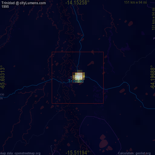
» NASA, Earths city lights 1995
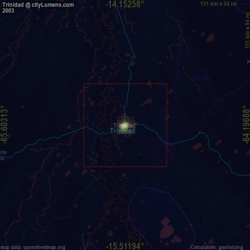
» NASA city lights 2003
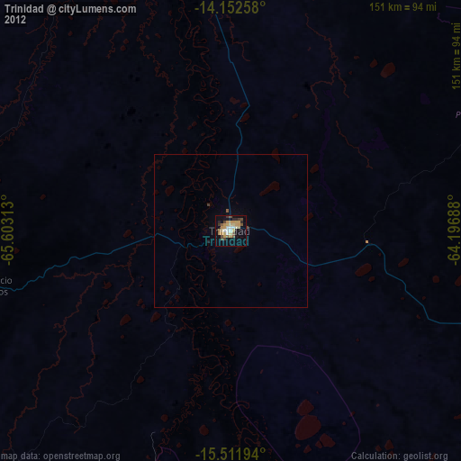
» Earth at Night: Flat Maps 2012, 2016