San Borja night lights from space
Night Light of San Borja (El Beni) from space (Bolivia) Src. Average luminocity for 10x10km area is 6.3285% and for 50x50km: 0.2571%.

Analysis of San Borja night lights 2016
Square area 10x10 km:
 0%
0%90-99
0%80-89
0.21%70-79
5.17%60-69
1.24%50-59
0.83%40-49
0%30-39
0%20-29
0%10-19
0.41%0-9
92.15%Square area 50x50 km:
0%90-99
0%80-89
0.01%70-79
0.21%60-69
0.05%50-59
0.03%40-49
0%30-39
0%20-29
0%10-19
0.02%0-9
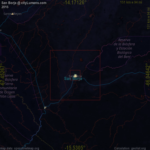
99.69%Clear (daylight) street map image can be seen on geolist.org.
Map coordinates:
14° 10' 16.5" South, 67° 27' 9.6" West
14° 51' 7" South, 66° 44' 58.3" West
15° 31' 49.8" South, 66° 2' 47.1" West
Some cities around San Borja sort by population:
• La Paz
236.8 km =147.1 mi,  219°
219°
• Trinidad
198.8 km =123.5 mi,  89°
89°
• Tiquipaya
282.2 km =175.4 mi,  168°
168°
• Santa Ana de Yacuma
188.4 km =117.1 mi,  49°
49°
• Rurrenabaque
95.4 km =59.3 mi,  298°
298°
• Achacachi
246.4 km =153.1 mi,  237°
237°
• Reyes
88.4 km =54.9 mi,  314°
314°
• San Pedro
272.7 km =169.4 mi, 235°
11467676 (p: 24,610)
Sources (retrieved 2019-11-25):
» Earth at Night: Flat Maps 2012, 2016