Chimoré night lights from space
Night Light of Chimoré (Cochabamba) from space (Bolivia) Src. Average luminocity for 10x10km area is 4.8398% and for 50x50km: 0.5029%.
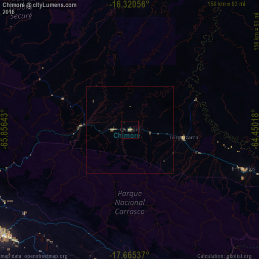
Analysis of Chimoré night lights 2016
Square area 10x10 km:
 0%
0%90-99
0%80-89
1.08%70-79
1.52%60-69
0.87%50-59
0.87%40-49
0%30-39
1.73%20-29
1.95%10-19
0.65%0-9
91.34%Square area 50x50 km:
0%90-99
0%80-89
0.1%70-79
0.06%60-69
0.08%50-59
0.1%40-49
0.17%30-39
0.18%20-29
0.17%10-19
0.1%0-9
99.03%Clear (daylight) street map image can be seen on geolist.org.
Map coordinates:
16° 19' 14" South, 65° 51' 23.1" West
16° 59' 39" South, 65° 9' 11.9" West
17° 39' 55.3" South, 64° 27' 0.6" West
Some cities around Chimoré sort by population:
• Cochabamba
115.3 km =71.6 mi,  247°
247°
• Sacaba
104.2 km =64.7 mi,  244°
244°
• Quillacollo
127.4 km =79.2 mi, 249°
• Tiquipaya
119.2 km =74.1 mi, 251°
• Mizque
107.1 km =66.5 mi,  190°
190°
• Punata
94.6 km =58.8 mi,  229°
229°
• Cliza
105.8 km =65.7 mi, 231°
• Tarata
114.7 km =71.3 mi, 233°
3920736 (p: 5,147)
Sources (retrieved 2019-11-25):
» Earth at Night: Flat Maps 2012, 2016