Punata night lights from space
Night Light of Punata (Cochabamba) from space (Bolivia) Src. Average luminocity for 10x10km area is 44.8388% and for 50x50km: 9.4961%.
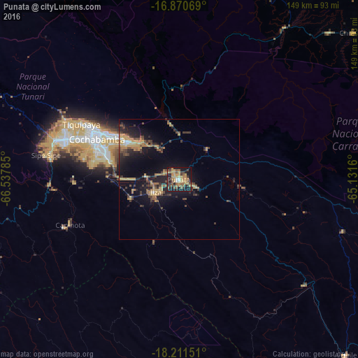
Analysis of Punata night lights 2016
Square area 10x10 km:
 1.65%
1.65%90-99
1.65%80-89
5.17%70-79
17.98%60-69
9.3%50-59
8.68%40-49
7.85%30-39
6.2%20-29
14.05%10-19
25.62%0-9
1.86%Square area 50x50 km:
0.15%90-99
0.37%80-89
0.81%70-79
2.96%60-69
1.47%50-59
1.32%40-49
2.23%30-39
1.71%20-29
2.87%10-19
8.36%0-9
77.75%Clear (daylight) street map image can be seen on geolist.org.
Map coordinates:
16° 52' 14.5" South, 66° 32' 16.3" West
17° 32' 32.4" South, 65° 50' 5" West
18° 12' 41.4" South, 65° 7' 53.8" West
Some cities around Punata sort by population:
• Cochabamba
38.2 km =23.7 mi,  296°
296°
• Sacaba
26.9 km =16.7 mi,  306°
306°
• Quillacollo
49.9 km =31 mi,  289°
289°
• Tiquipaya
46.4 km =28.8 mi, 299°
• Mizque
68.6 km =42.6 mi,  130°
130°
• Cliza
11.5 km =7.1 mi,  244°
244°
• Tarata
21.1 km =13.1 mi,  249°
249°
• Capinota
48.9 km =30.4 mi, 247°
3907080 (p: 15,194)
Sources (retrieved 2019-11-25):
» Earth at Night: Flat Maps 2012, 2016