Kuala Belait night lights from space
Night Light of Kuala Belait (Belait) from space (Brunei) Src. Average luminocity for 10x10km area is 32.9649% and for 50x50km: 7.1067%.
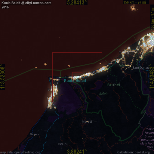
Analysis of Kuala Belait night lights 2016
Square area 10x10 km:
 6.82%
6.82%90-99
7.85%80-89
3.51%70-79
3.72%60-69
0.62%50-59
3.72%40-49
1.45%30-39
2.69%20-29
3.31%10-19
49.79%0-9
16.53%Square area 50x50 km:
0.81%90-99
1.3%80-89
0.85%70-79
0.7%60-69
0.91%50-59
0.95%40-49
0.59%30-39
0.69%20-29
1.31%10-19
8.64%0-9
83.25%Clear (daylight) street map image can be seen on geolist.org.
Map coordinates:
5° 17' 2.9" North, 113° 31' 41.1" East
4° 35' 1" North, 114° 13' 52.3" East
3° 52' 56.7" North, 114° 56' 3.6" East
Some cities around Kuala Belait sort by population:
• Miri, MY
33.5 km =20.8 mi,  232°
232°
• Marudi, MY
45.5 km =28.3 mi,  167°
167°
• Bandar Seri Begawan
85.6 km =53.2 mi,  66°
66°
• Lawas, MY
134.1 km =83.3 mi,  76°
76°
• Seria
10.7 km =6.6 mi, 76°
• Limbang, MY
87.2 km =54.2 mi, 77°
• Tutong
52.3 km =32.5 mi,  62°
62°
• Bangar
94.2 km =58.5 mi, 81°
1820491 (p: 31,178)
Sources (retrieved 2019-11-25):
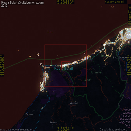
» Earth at Night: Flat Maps 2012, 2016