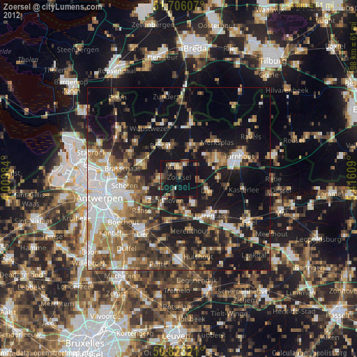
Zoersel night lights from space
Night Light of Zoersel (Flanders) from space (Belgium) Src. Average luminocity for 10x10km area is 19.3193% and for 50x50km: 33.593%.
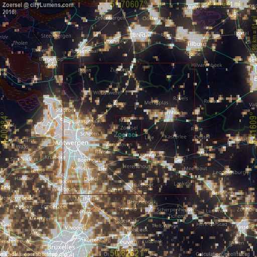
Analysis of Zoersel night lights 2016
Square area 10x10 km:
 0.98%
0.98%90-99
0.7%80-89
1.4%70-79
1.4%60-69
2.24%50-59
4.9%40-49
4.06%30-39
3.36%20-29
4.9%10-19
31.79%0-9
44.26%Square area 50x50 km:
6.48%90-99
6.01%80-89
3.3%70-79
3.93%60-69
4.33%50-59
4.92%40-49
5.11%30-39
4.1%20-29
8.22%10-19
23.57%0-9
30.03%Clear (daylight) street map image can be seen on geolist.org.
Map coordinates:
51° 42' 21.9" North, 4° 0' 35.4" East
51° 16' 5.7" North, 4° 42' 46.7" East
50° 49' 34.4" North, 5° 24' 57.9" East
Some cities around Zoersel sort by population:
• Brecht
10.5 km =6.5 mi,  330°
330°
• Schilde
9.5 km =5.9 mi,  251°
251°
• Lille
8.2 km =5.1 mi,  110°
110°
• Zandhoven
6.9 km =4.3 mi,  211°
211°
• Grobbendonk
8.8 km =5.5 mi,  169°
169°
• Rijkevorsel
9.5 km =5.9 mi,  20°
20°
• Vorselaar
8.4 km =5.2 mi,  150°
150°
• Oostmalle
3.8 km =2.4 mi, 21°
2783204 (p: 20,642)
Sources (retrieved 2019-11-25):
» Earth at Night: Flat Maps 2012, 2016