Rochefort night lights from space
Night Light of Rochefort (Wallonia) from space (Belgium) Src. Average luminocity for 10x10km area is 7.7005% and for 50x50km: 3.5351%.
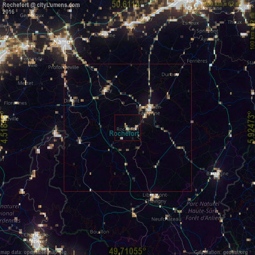
Analysis of Rochefort night lights 2016
Square area 10x10 km:
 0.67%
0.67%90-99
0.94%80-89
0.4%70-79
1.2%60-69
1.07%50-59
0.67%40-49
2.41%30-39
1.2%20-29
1.34%10-19
1.07%0-9
89.04%Square area 50x50 km:
0.21%90-99
0.35%80-89
0.2%70-79
0.44%60-69
0.61%50-59
0.59%40-49
0.81%30-39
0.75%20-29
0.78%10-19
1.75%0-9
93.51%Clear (daylight) street map image can be seen on geolist.org.
Map coordinates:
50° 36' 41" North, 4° 31' 6.5" East
50° 9' 47.2" North, 5° 13' 17.8" East
49° 42' 38" North, 5° 55' 29" East
Some cities around Rochefort sort by population:
• Marche-en-Famenne
11.2 km =7 mi,  50°
50°
• Ciney
17 km =10.6 mi,  329°
329°
• Dinant
24.5 km =15.2 mi,  295°
295°
• Durbuy
26.9 km =16.7 mi,  38°
38°
• Beauraing
19.8 km =12.3 mi,  252°
252°
• Hamois
20.2 km =12.6 mi,  346°
346°
• Saint-Hubert
18.7 km =11.6 mi,  144°
144°
• Nassogne
9.5 km =5.9 mi,  114°
114°
2787948 (p: 11,978)
Sources (retrieved 2019-11-25):
» Earth at Night: Flat Maps 2012, 2016