Nassogne night lights from space
Night Light of Nassogne (Wallonia) from space (Belgium) Src. Average luminocity for 10x10km area is 2.5521% and for 50x50km: 3.1812%.
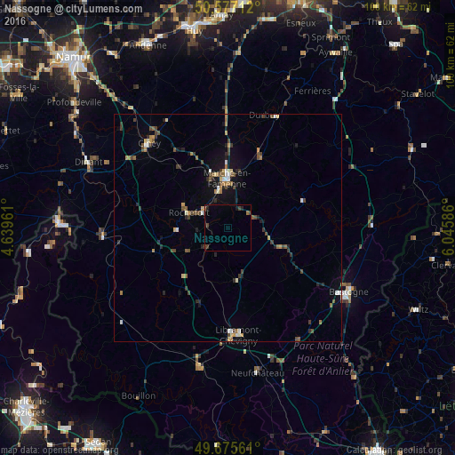
Analysis of Nassogne night lights 2016
Square area 10x10 km:
 0%
0%90-99
0%80-89
0%70-79
0%60-69
0.8%50-59
0%40-49
1.34%30-39
0.8%20-29
1.07%10-19
1.07%0-9
94.92%Square area 50x50 km:
0.26%90-99
0.35%80-89
0.18%70-79
0.41%60-69
0.55%50-59
0.4%40-49
0.79%30-39
0.58%20-29
0.64%10-19
1.55%0-9
94.28%Clear (daylight) street map image can be seen on geolist.org.
Map coordinates:
50° 34' 37.6" North, 4° 38' 22.6" East
50° 7' 42.6" North, 5° 20' 33.9" East
49° 40' 32.2" North, 6° 2' 45.1" East
Some cities around Nassogne sort by population:
• Marche-en-Famenne
10.9 km =6.8 mi,  0°
0°
• Ciney
25.3 km =15.7 mi,  316°
316°
• Rochefort
9.5 km =5.9 mi,  294°
294°
• Durbuy
26.2 km =16.3 mi,  17°
17°
• Beauraing
27.7 km =17.2 mi,  265°
265°
• Hamois
27 km =16.8 mi,  330°
330°
• Saint-Hubert
11.5 km =7.1 mi,  168°
168°
• Paliseul
29 km =18 mi,  210°
210°
2790451 (p: 5,081)
Sources (retrieved 2019-11-25):
» Earth at Night: Flat Maps 2012, 2016