Mons night lights from space
Night Light of Mons (Wallonia) from space (Belgium) Src. Average luminocity for 10x10km area is 62.8796% and for 50x50km: 26.9651%.
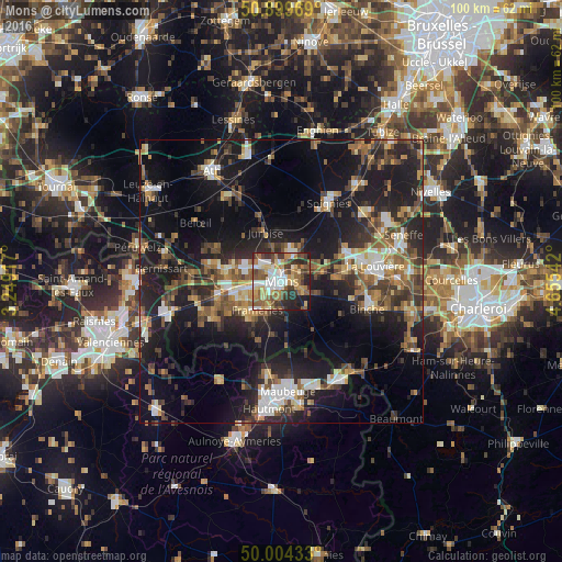
Analysis of Mons night lights 2016
Square area 10x10 km:
 10.64%
90-99
12.75%80-89
9.38%70-79
10.78%60-69
10.22%50-59
11.2%40-49
10.5%30-39
9.1%20-29
10.22%10-19
5.18%0-9
0%Square area 50x50 km:
2.96%90-99
3.92%80-89
2.37%70-79
3.27%60-69
3.88%50-59
4.74%40-49
4.82%30-39
4.86%20-29
9.62%10-19
22.66%0-9
36.91%Clear (daylight) street map image can be seen on geolist.org.
Map coordinates:
50° 53' 58.9" North, 3° 14' 57" East
50° 27' 14.9" North, 3° 57' 8.2" East
50° 0' 15.6" North, 4° 39' 19.5" East
Some cities around Mons sort by population:
• Saint-Ghislain
9.5 km =5.9 mi,  265°
265°
• Frameries
6.7 km =4.2 mi,  216°
216°
• Boussu
11.4 km =7.1 mi,  258°
258°
• Colfontaine
8.2 km =5.1 mi,  236°
236°
• Quaregnon
6.3 km =3.9 mi, 256°
• Jurbise
9.1 km =5.7 mi,  340°
340°
• Quévy-le-Petit
9.6 km =6 mi,  186°
186°
• Chasse Royale
2.9 km =1.8 mi,  183°
183°
2790869 (p: 91,277)
Sources (retrieved 2019-11-25):
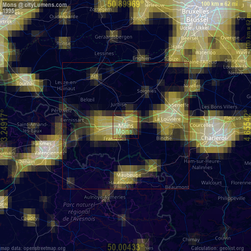
» NASA, Earths city lights 1995
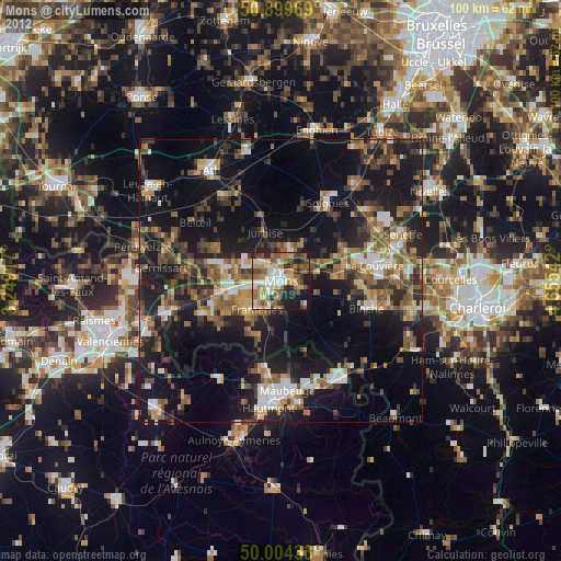
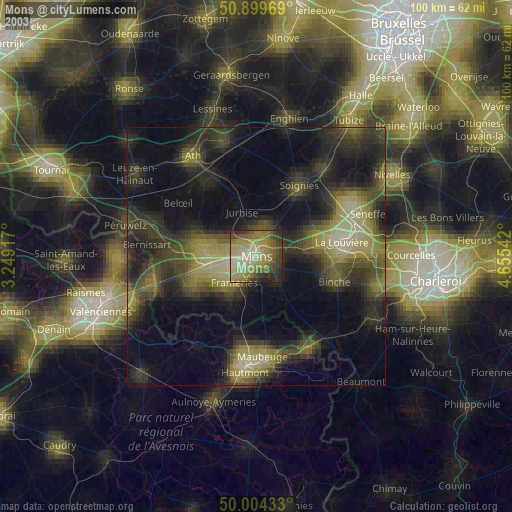
» NASA city lights 2003
» Earth at Night: Flat Maps 2012, 2016