Frameries night lights from space
Night Light of Frameries (Wallonia) from space (Belgium) Src. Average luminocity for 10x10km area is 49.5378% and for 50x50km: 25.9446%.
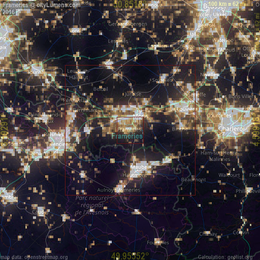
Analysis of Frameries night lights 2016
Square area 10x10 km:
 4.76%
4.76%90-99
8.12%80-89
10.08%70-79
10.5%60-69
5.74%50-59
9.52%40-49
6.72%30-39
4.9%20-29
16.11%10-19
21.01%0-9
2.52%Square area 50x50 km:
3.13%90-99
4.17%80-89
2.37%70-79
2.96%60-69
3.52%50-59
4.19%40-49
4.38%30-39
4.58%20-29
8.53%10-19
21.45%0-9
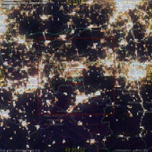
40.72%Clear (daylight) street map image can be seen on geolist.org.
Map coordinates:
50° 51' 6.5" North, 3° 11' 34.5" East
50° 24' 20.8" North, 3° 53' 45.7" East
49° 57' 19.9" North, 4° 35' 57" East
Some cities around Frameries sort by population:
• Mons
6.7 km =4.2 mi,  36°
36°
• Saint-Ghislain
7.2 km =4.5 mi,  310°
310°
• Boussu
7.9 km =4.9 mi,  293°
293°
• Colfontaine
3 km =1.9 mi, 287°
• Quaregnon
4.4 km =2.7 mi,  330°
330°
• Dour
8.4 km =5.2 mi,  262°
262°
• Quévy-le-Petit
5 km =3.1 mi,  145°
145°
• Chasse Royale
4.6 km =2.9 mi,  56°
56°
2798023 (p: 20,598)
Sources (retrieved 2019-11-25):
» Earth at Night: Flat Maps 2012, 2016