Maasmechelen night lights from space
Night Light of Maasmechelen (Flanders) from space (Belgium) Src. Average luminocity for 10x10km area is 44.7633% and for 50x50km: 28.4625%.
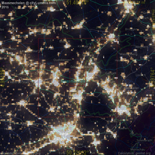
Analysis of Maasmechelen night lights 2016
Square area 10x10 km:
 7.84%
7.84%90-99
7.56%80-89
4.9%70-79
2.52%60-69
6.58%50-59
4.06%40-49
9.24%30-39
17.51%20-29
18.07%10-19
18.35%0-9
3.36%Square area 50x50 km:
3.56%90-99
4.8%80-89
2.37%70-79
3%60-69
4.16%50-59
4.23%40-49
4.53%30-39
5.58%20-29
11.4%10-19
22.34%0-9
34.03%Clear (daylight) street map image can be seen on geolist.org.
Map coordinates:
51° 24' 22.2" North, 4° 59' 29" East
50° 57' 55.6" North, 5° 41' 40.3" East
50° 31' 13.9" North, 6° 23' 51.5" East
Some cities around Maasmechelen sort by population:
• Lanaken
8.7 km =5.4 mi,  202°
202°
• Stein, NL
5.1 km =3.2 mi,  85°
85°
• Beek, NL
7.7 km =4.8 mi,  110°
110°
• Lindenheuvel, NL
8.8 km =5.5 mi,  75°
75°
• As
9 km =5.6 mi,  301°
301°
• Elsloo, NL
5.6 km =3.5 mi, 108°
• Zutendaal
9.1 km =5.7 mi,  246°
246°
• Bunde, NL
8.1 km =5 mi,  161°
161°
2791961 (p: 36,251)
Sources (retrieved 2019-11-25):
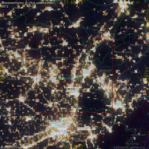
» Earth at Night: Flat Maps 2012, 2016